





JS-CK39-A
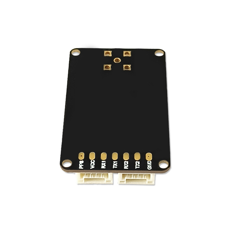
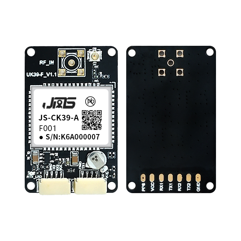
JS-CK39-A
Heading & Positioning Boards
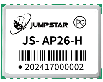
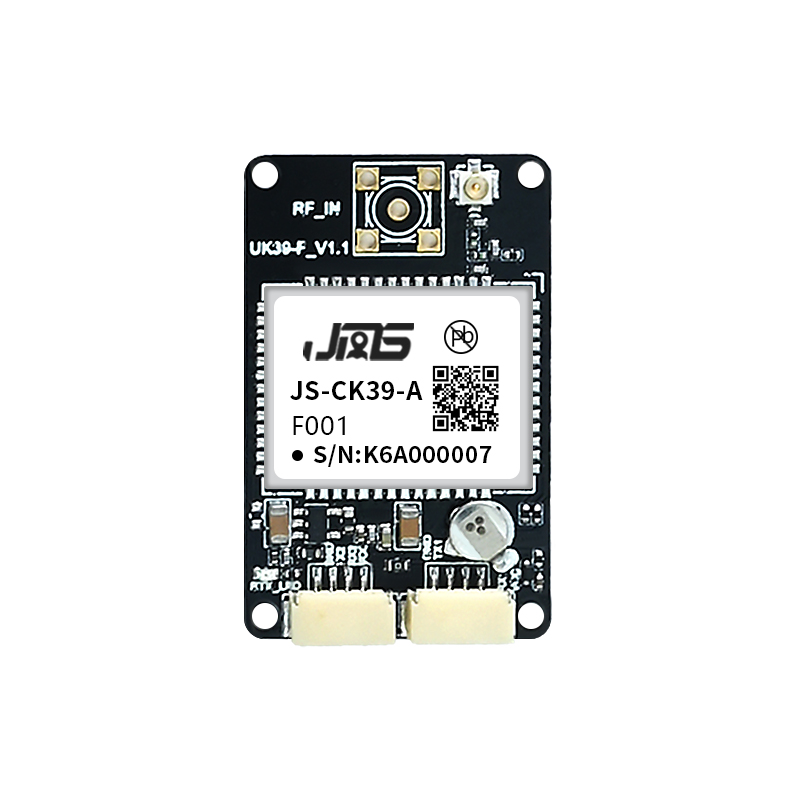
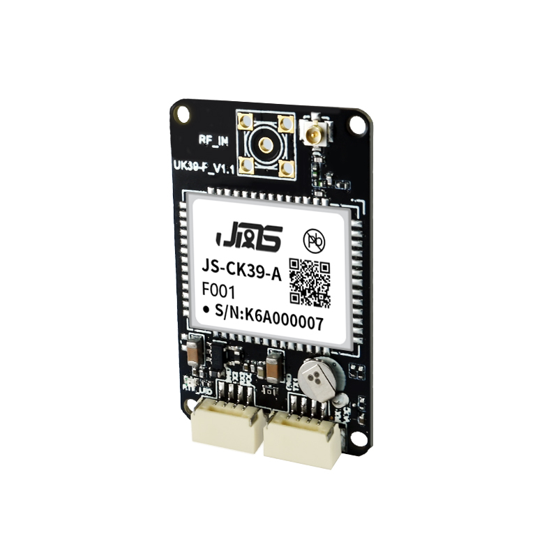
Jumpstar JS-CK39-A Multi-Band Multi-Constellation GNSS Receiver Module – Built-in IMU, RTK Centimeter-Level Positioning, Ultra-Compact for UAV, Robot & Intelligent Driving
Full-Constellation Multi-Band Reception
Simultaneously tracks GPS, BDS-2/3, GLONASS, Galileo, QZSS, SBAS signals.
Built-in IMU & Integrated Navigation
Supports fusion navigation, maintains centimeter/meter-level accuracy when GNSS is blocked.
RTK Centimeter-Level Precision
High-accuracy differential positioning for professional measurement & control.
Ultra-Compact Size
25.0×39.4×11.6mm, ideal for space-constrained embedded devices.
Strong Anti-Interference
Suppresses narrowband/single-tone interference in GNSS frequency band.
Antenna Protection
Built-in short-circuit protection & open-circuit detection for safe use.
Dual UART Interfaces
Flexible communication, supports NMEA/RTCM/CMR multiple protocols.
Jumpstar JS-CK39-A
Multi-Band Multi-Constellation GNSS Receiver Module
The JS-CK39-A is a high-performance concurrent multi-GNSS receiver module based on the professional C8A chip. It adopts a multi-band RF front-end architecture to simultaneously receive and track global mainstream satellite navigation systems, and supports RTK differential navigation with correction data.
The built-in inertial navigation (IMU) and integrated navigation algorithm make it perfectly suitable for large-scale Beidou application scenarios, delivering stable and high-precision positioning even in complex environments. With ultra-small size and rich interfaces, it is widely used in intelligent driving, UAVs, intelligent robots, automotive electronics and precision measurement fields.
Supports full-constellation multi-band signals, built-in IMU fusion navigation, RTK centimeter-level precision, and fast positioning response. Ideal for space-constrained embedded devices requiring high reliability.
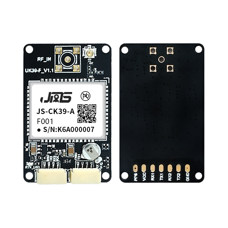
Key Features & Benefits
-
Full-System Multi-Band Compatibility Supports GPS, BDS-2/BDS-3, GLONASS, Galileo, QZSS and SBAS full-band signals, fully compatible with Beidou-3 system.
-
Integrated IMU Fusion Navigation Built-in gyroscope & accelerometer; maintains centimeter-level accuracy for 3s and meter-level for 10s when GNSS signal is lost.
-
High-Precision RTK Positioning RTK horizontal accuracy ±(8 + 1ppm×D)mm, vertical accuracy ±(15 + 1ppm×D)mm, meets professional measurement requirements.
-
Professional Anti-Interference & Protection Suppresses GNSS band interference signals; built-in antenna short-circuit protection and open-circuit detection.
-
Miniature & Low-Power Design Ultra-small size 25.0×39.4×11.6mm, 3.3~5.5V wide voltage supply, low power consumption for embedded integration.
-
Rich Protocol & Interface Dual UART ports, supports NMEA 0183, RTCM 2.X/3.X, CMR and custom binary protocols for universal compatibility.
-
Fast Positioning Response Cold start <20s, hot start <10s, loss lock re-acquisition <1s, realizes fast satellite locking and positioning.
Technical Specifications
GNSS Performance
| Product Type | Multi-Band Multi-Constellation GNSS Receiver with Built-in IMU |
| Supported Signals | GPS: L1C/A, L2P, L2C; BDS-2: B1I, B2I; BDS-3: B1C, B2b; GLONASS: G1, G2; Galileo: E1, E5b; QZSS: L1C/A, L2C; SBAS: L1C/A |
| Sensitivity | Tracking: -155dBm; Re-acquisition: -138dBm |
| Time to First Fix | Cold Start: <20s; Hot Start: <10s; Lost Lock Reacquisition: <1s |
| Position Accuracy | Single-point: H≤1.5m, V≤3m (1σ, PDOP≤4); RTK: H±(8+1ppm×D)mm, V±(15+1ppm×D)mm |
| Measurement Precision | Pseudorange: ≤10cm; Carrier Phase: ≤1mm; Speed: ≤0.02m/s; Time: 20ns |
| Data Rate | Measurements/Position: 100Hz (Optional); RTK Positioning: 20Hz (Optional) |
| Supported Protocols | NMEA 0183, Custom Binary, CMR, RTCM 2.X, RTCM 3.X (MSM3~MSM7) |
IMU & Electrical
| IMU Parameters | Gyro: Range 250°/s, Zero Bias 0.5°/s; Accelerometer: Range 4g, Zero Bias 20mg |
| Antenna Interface | Impedance: 50Ω; LNA Power: +3.3V~+5V; LNA Gain: 20~35dB (Suggested) |
| Supply Voltage | 3.3~5.5V DC |
| Power Consumption | 0.8W/0.9W @3.3V |
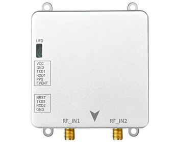
| Dimensions | 25.0×39.4×11.6mm ±0.3mm |
| Operating Temperature | -40℃ ~ +85℃ |
| Storage Temperature | -45℃ ~ +85℃ |
| Humidity | 95% Non-condensing |
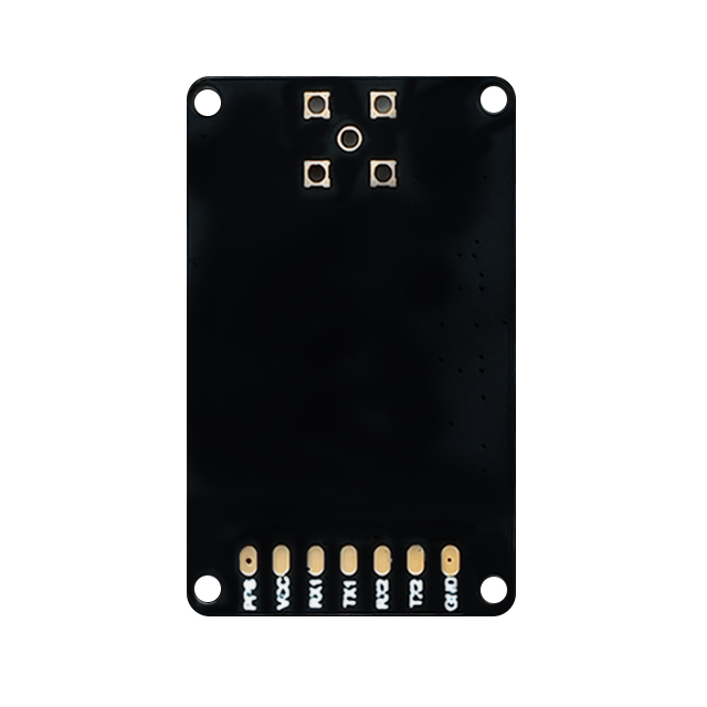
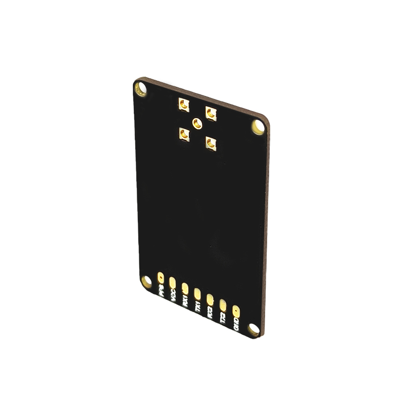
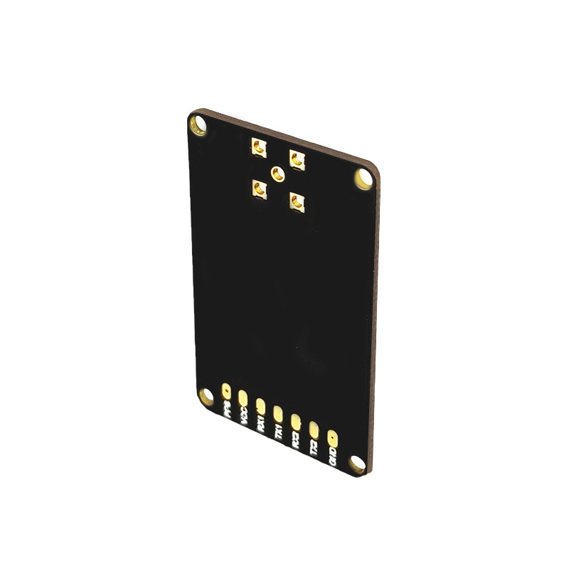
| Interface | 2×UART, RF_IN, VCC, GND, PPS (Backup) |
| RoHS | Compliant |
Typical Applications
Intelligent Driving & Automotive Electronics
High-precision positioning for ADAS, autonomous driving and vehicle testing
Unmanned Aerial Vehicles (UAVs)
Aerial surveying, autonomous flight and precise navigation for drones
Intelligent Robots & AGVs
Autonomous navigation for robots, automated guided vehicles and logistics
Precision Agriculture Machinery
Automated guidance, precision farming and field mapping
Marine Navigation & Fleet Management
Vessel tracking, fleet operations and marine positioning
Surveying & Mapping Measurement
Professional land surveying, GIS data collection and geodetic measurement
Driving Test & Training
Vehicle tracking for driving schools, test routes and performance evaluation
Handheld High-Precision GPS Terminals
Portable devices requiring centimeter-level accuracy in field operations
Emergency Rescue & Personnel Positioning
Real-time location tracking for first responders and field personnel
Intelligent Logistics & Scheduling
Asset tracking, warehouse automation and supply chain visibility
Resources & Downloads
JS-CK39-A Datasheet
Complete specifications, pinout, electrical and mechanical details.
Mechanical Drawing
2D/3D mechanical dimensions and pad layout (25.0×39.4×11.6mm).
User Manual
Quick start guide, integration tips, and configuration protocols.
3D CAD Model
STEP, IGES and STL formats for mechanical integration (25.0×39.4×11.6mm).
.png?imageMogr2/format/webp)