





X11
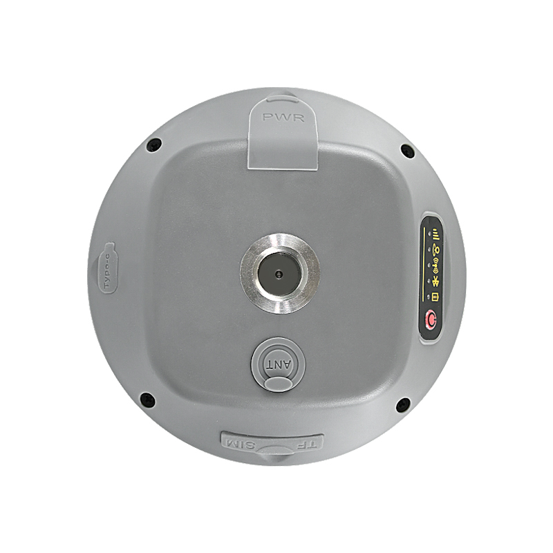
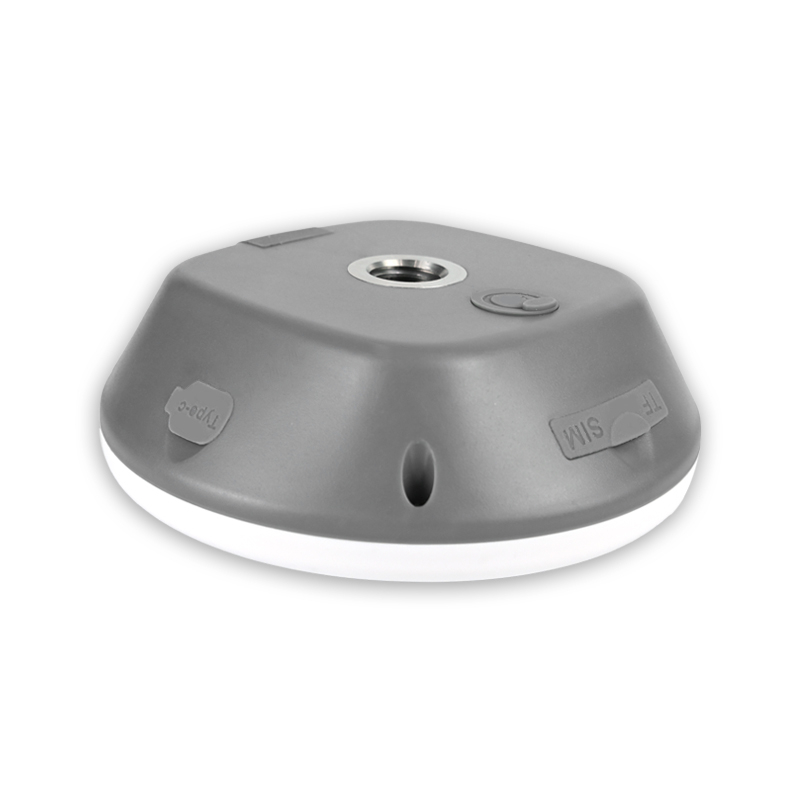
X11
GNSS Base Stations
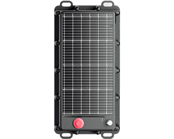
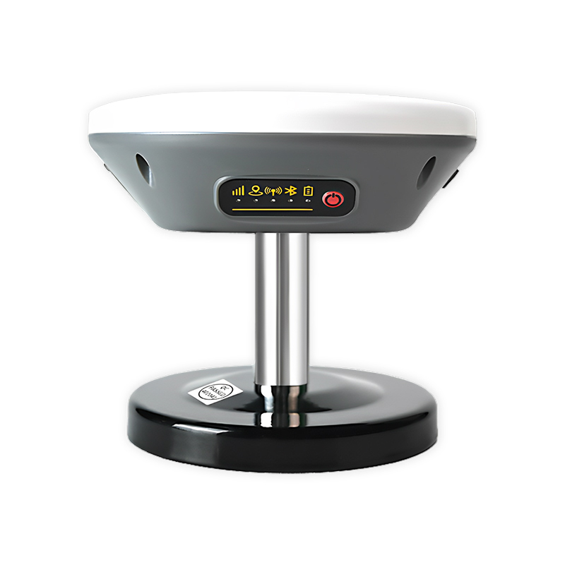
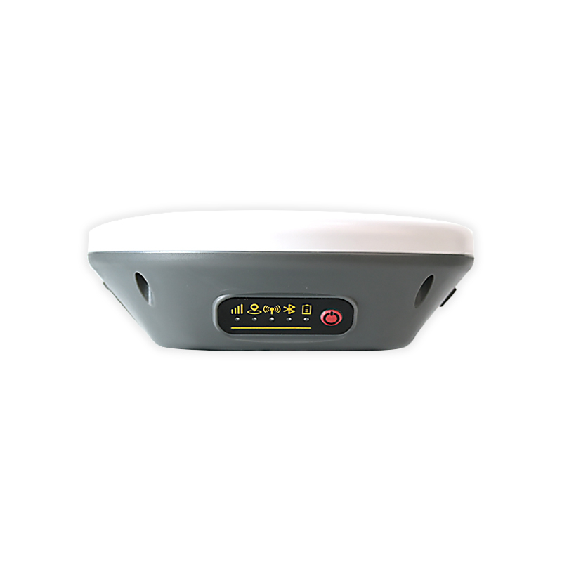
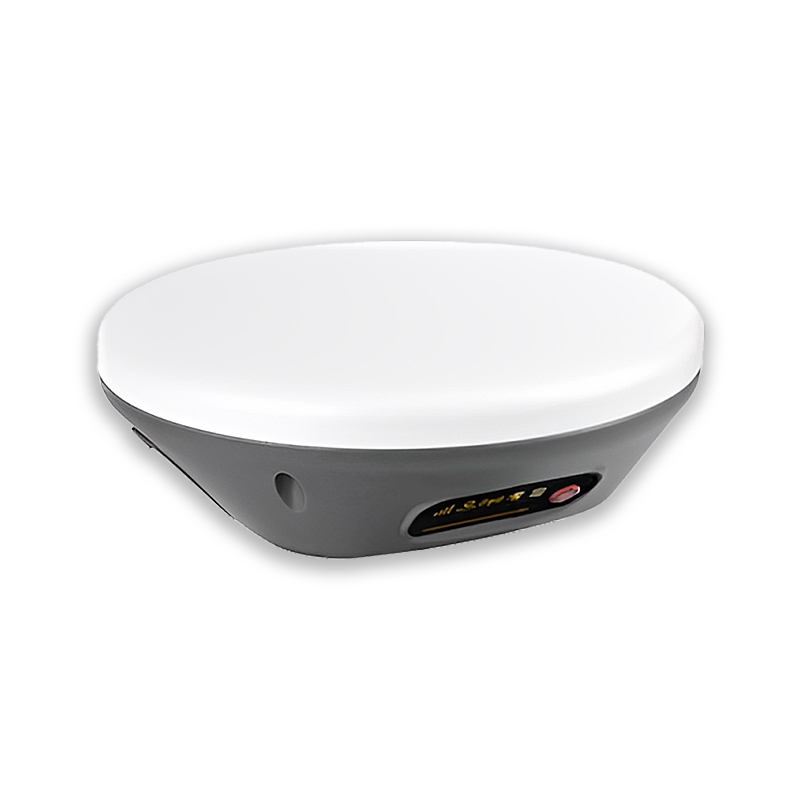
Jumpstar X11 All-In-One RTK Smart Antenna – Centimeter-Level Positioning, 4G/BLE/Radio/Wi-Fi, IP66 Industrial-Grade Integrated Positioning Terminal
All-In-One Integration
RTK positioning + 4G/BLE 5.2/Radio/Wi-Fi + TF card data storage.
Centimeter-Level Precision
RTK positioning accuracy 2cm±1ppm for high-precision applications.
Full-Constellation Tracking
Supports GPS/BDS/GLONASS/Galileo/QZSS/SBAS/IRNSS full bands.
Rover/Base Dual-Mode
One-key free switching between mobile station and base station.
Multi-Mode Communication
4G Cat.1, BLE 5.2, radio, Wi-Fi for long/short-range data transmission.
Industrial Reliability
IP66 waterproof, 9-45V wide voltage, 5200mAh backup battery.
Compact & Portable
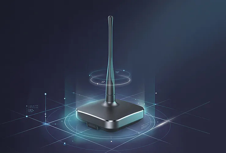
122×122×43.09mm, 375g, optional magnetic mounting base.
Jumpstar X11
All-In-One RTK Smart Antenna
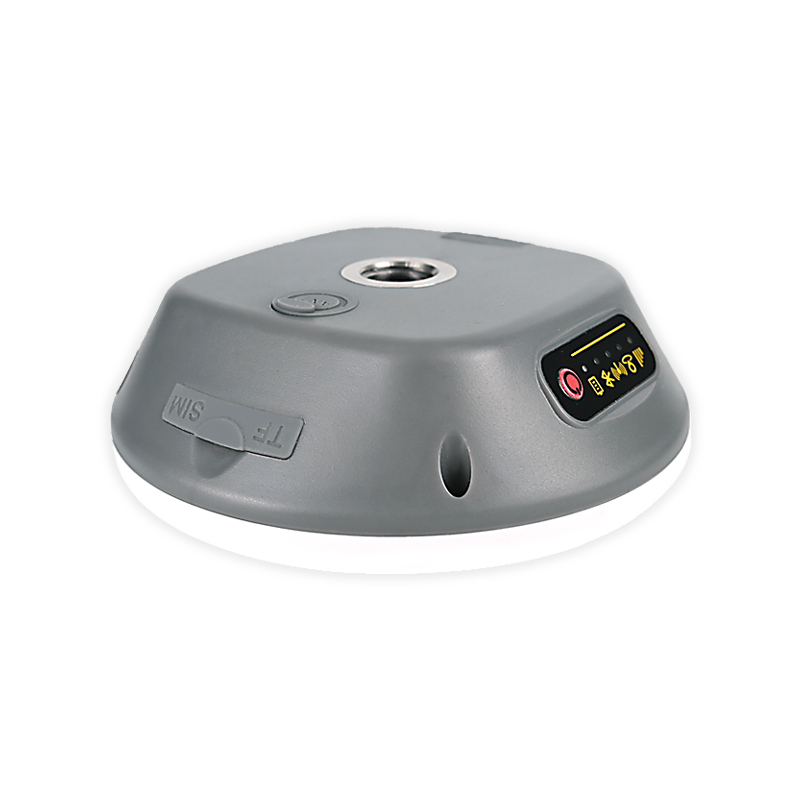
The X11 is an all-in-one industrial RTK smart antenna that integrates high-precision positioning, multi-mode wireless communication and local data storage. It adopts a full-constellation & full-frequency GNSS engine to deliver centimeter-level RTK positioning, and is equipped with 4G Cat.1, BLE 5.2, radio, Wi-Fi and a TF card slot.
It supports free switching between rover station and base station modes, with IP66 waterproof protection, wide-voltage power input and a large-capacity backup battery. It features multiple configuration methods and a compact structure, widely used in autonomous driving, drones, surveying and mapping, precision agriculture, marine vessels and other high-precision positioning scenarios.
All-in-one integration, cm-level RTK precision, full-constellation tracking, and industrial-grade reliability make it an ideal positioning terminal for demanding outdoor applications.
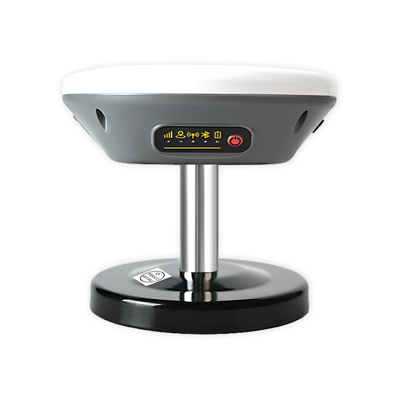
Key Features & Benefits
-
All-In-One Highly Integrated Design Combines RTK high-precision positioning, 4G/Bluetooth/radio/Wi-Fi communication and TF card data storage, simplifying system integration.
-
Ultra-High Precision Positioning Performance RTK horizontal accuracy 2cm±1ppm; PPP accuracy ≤50cm (static open-sky); tracking sensitivity up to -155dBm.
-
Full-Constellation Full-Band Compatibility Supports GPS, BDS-2/3, GLONASS, Galileo, QZSS, SBAS and IRNSS all satellite navigation signals.
-
Rover & Base Station Dual-Mode One-key switching between mobile station and base station modes to meet networking and single-machine application needs.
-
Diversified Communication Methods 4G Cat.1 for long-distance transmission; BLE 5.2 (30m) for short-range control; radio and Wi-Fi for flexible connection.
-
Industrial-Grade Environmental Adaptability IP66 waterproof rating; operating temperature -20℃~+75℃; 9-45V wide voltage input; 5200mAh backup battery (up to 10 hours working).
-
Multiple Configuration & Upgrade Methods Supports configuration via SMS, Bluetooth, serial port and APP; supports remote OTA firmware upgrade.
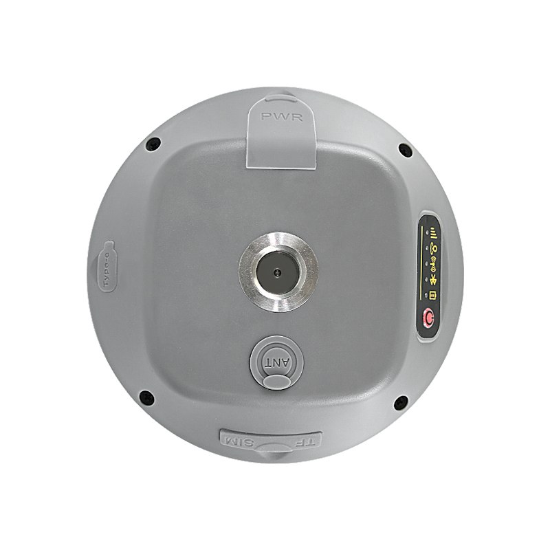
Technical Specifications
GNSS Performance
| Product Type | All-In-One RTK Smart Antenna |
| GNSS Signals | GPS: L1, L1C, L2C, L2P, L5; BDS-2/3: B1I, B3I, B1C, B2a, B2b; GLONASS: G1, G2, G3; Galileo: E1, E5a, E5b, E6; QZSS/SBAS/IRNSS full bands |
| Positioning Accuracy | RTK: 2cm±1ppm; PPP: ≤50cm (static); Velocity: ≤0.02m/s |
| Sensitivity | Tracking: -155dBm; Acquisition: -138dBm |
| Acquisition Time | Cold start ≤40s; Warm start ≤25s |
| Update Rate | 1~10Hz (Default 1Hz) |
| Supported Protocols | NMEA 0183, RTCM 3.3/3.2/3.1/3.0, JT/T808-2013 |
Electrical & Mechanical
| Communication | 4G Cat.1; BLE 5.2 (30m); Radio (custom); Wi-Fi (custom) |
| Power | Input: 9V-45V DC; Backup battery: 5200mAh 3.7V; Working time: ≤10h |
| Operating Current | ≤600mA @12V DC |
| Interfaces | Aviation plug (RS232), SMA (radio), Type-C, TF/SIM card slot |
| Environmental | IP66 waterproof; Operating temp: -20℃~+75℃; Humidity: 10%~85%RH non-condensing |
| Physical | Size: 122×122×43.09mm; Weight: 375g; Material: ABS+PC |
| Certification | RoHS Compliant |
Typical Applications
Autonomous Driving & Assisted Driving
High-precision positioning for ADAS, autonomous vehicles and V2X applications
UAV/Drones Positioning & Navigation
Aerial surveying, autonomous flight and precise positioning for drones
Geodetic Surveying & Engineering Mapping
Professional land surveying, GIS data collection and engineering measurement
Precision Agriculture Machinery
Automated guidance, precision farming and field mapping
Marine Vessels & Ship Positioning
High-precision positioning for marine vessels, fleet operations and navigation
Vehicle Tracking & Monitoring
Fleet management, asset tracking and real-time vehicle monitoring
High-Precision Engineering Measurement
Precision measurement for construction, civil engineering and infrastructure monitoring
Resources & Downloads
X11 Datasheet
Complete specifications, pinout, electrical and mechanical details.
Mechanical Drawing
2D/3D mechanical dimensions and pad layout (122×122×43.09mm).
User Manual
Quick start guide, integration tips, and configuration protocols.
3D CAD Model
STEP, IGES and STL formats for mechanical integration (122×122×43.09mm).
Frequently Bought Together
.jpg?imageMogr2/format/webp)
X28
Jumpstar X28 RTK Smart Antenna – IMU Fusion Navigation, Multi-Protocol Communication, IP67 Industrial All-In-One High-Precision Positioning Terminal
.png?imageMogr2/format/webp)
X27
Jumpstar X27 RTK Smart Antenna – Autonomous Driving-Optimized, IMU Integrated, Centimeter-Level Positioning, IP67 Industrial All-In-One Terminal