



Standard GNSS positioning tells a device where it is. Most autonomous platforms also need to know which direction they are facing. UAVs, autonomous vehicles, robots and agricultural machinery all rely on orientation data to navigate, control motion and align sensors. This article explains what GNSS heading is, how dual-antenna GNSS determines direction, and the role RTK plays in delivering a reliable heading solution.
What Is GNSS Heading?
A position tells you where an object is. A heading tells you which direction it is facing. The two are different: a vehicle can sit at the same coordinate while facing north, south, east or west, and a system that only knows the coordinate cannot tell which way it is pointing.
GNSS heading combines positioning and orientation into one navigation output. Autonomous systems use both to plan paths, control motion and align onboard sensors. Without heading, a platform can locate itself but cannot reliably steer, dock or point a payload.
How Does Dual-Antenna GNSS Determine Heading?
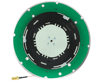
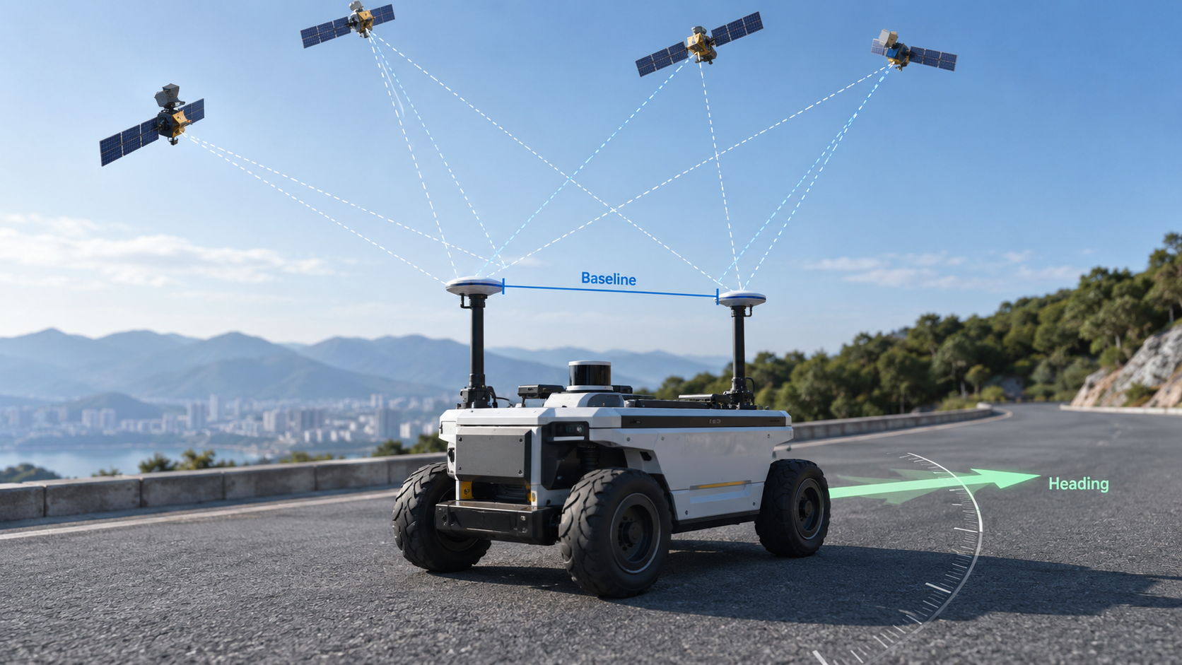
Dual-antenna GNSS uses two antennas mounted a known distance apart on the same platform. Both antennas receive signals from the same satellites at the same time, and the receiver compares the carrier-phase readings between them.
The line between the two antennas forms a baseline. By measuring how each satellite signal arrives at each end of the baseline, the receiver calculates the baseline's direction in space and converts that direction into a heading.
Two antennas → Baseline → Direction → Heading
Because heading comes from geometry rather than motion, the dual-antenna approach works while the platform is stationary and does not drift over time. Antenna placement, baseline length and mechanical rigidity all affect performance.
What Role Does RTK Play in GNSS Heading?
RTK provides high-precision positioning through carrier-phase corrections from a base station or correction service. RTK alone does not produce heading, but it sharpens the carrier-phase measurements that the dual-antenna heading engine depends on.
Cleaner phase measurements mean faster and more reliable integer-ambiguity resolution, which improves the stability of the heading output. Dual-frequency reception reinforces this with more independent observations.
In short, dual-antenna GNSS provides the basis for heading determination, while RTK supports high-precision positioning and precise carrier-phase measurements. The two combine into a single navigation stream.
Dual-Antenna GNSS vs. Single-Antenna GNSS
| Feature | Single-Antenna GNSS | Dual-Antenna GNSS |
|---|---|---|
| Positioning | Yes | Yes |
| Direct heading determination | Limited | Yes |
| Static heading | Generally limited | Supported |
| Hardware complexity | Lower | Higher |
| Typical applications | Positioning | Positioning + heading |
Single-antenna systems typically estimate heading from motion, an IMU or other sensors, while dual-antenna systems can determine heading from the relative direction of the two antennas directly.
Why Is GNSS Heading Important for Autonomous Systems?
UAVs and Drones
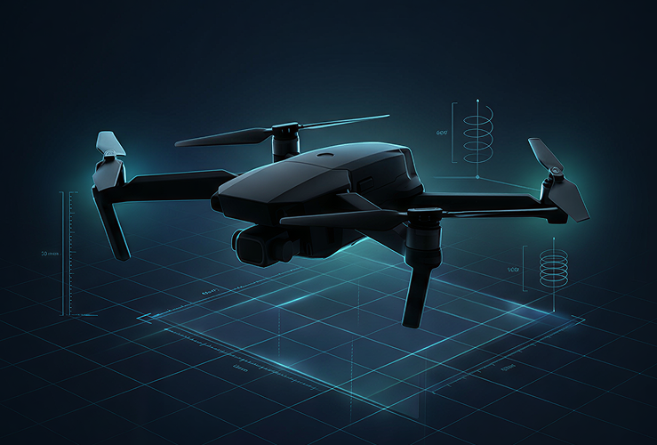
Drones use heading for autonomous flight, waypoint navigation, mapping and payload alignment. Accurate heading improves flight stability and the quality of survey data.
Autonomous Vehicles
Self-driving platforms use heading for vehicle orientation, lane-level navigation and motion control. Heading data supports trajectory planning and sensor fusion.
Robotics
Mobile robots and AMRs use heading for path following, docking and outdoor navigation. Heading lets the robot align with its planned route rather than relying on wheel odometry alone.
Precision Agriculture
Agricultural machinery uses heading for guidance, swath control and field operations. Heading data allows tractors and implements to align precisely with crop rows and planned paths.
GNSS Heading with IMU
GNSS provides position and heading. An IMU adds motion and attitude information during temporary GNSS outages, such as under bridges or near tall structures.
GNSS + IMU integration helps maintain navigation continuity, improves dynamic motion estimation and reduces heading drift during signal interruptions. IMU is not an indefinite substitute for GNSS, but a complementary sensor for bridging short gaps.
What Should Engineers Consider When Choosing a GNSS Heading Solution?
- Antenna configuration: Single antenna vs. dual antenna, based on whether the application needs direct heading.
- Baseline: Distance between antennas and mounting rigidity affect heading performance.
- GNSS constellation and frequency: GPS, BeiDou, GLONASS, Galileo and dual-frequency support affect robustness.
- RTK correction: Whether the project has access to a suitable base station or network RTK service.
- IMU integration: Useful for dynamic platforms or environments where GNSS signals are easily blocked.
- System integration: Interfaces, update rate, antenna placement, power and communication.
JUMPSTAR GNSS Heading Solutions
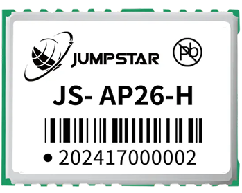
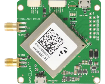
JUMPSTAR provides GNSS solutions for applications that require both high-precision positioning and heading information. Our portfolio covers dual-antenna GNSS heading solutions, RTK positioning boards and integrated GNSS + IMU modules designed for OEM and ODM integration.
For teams building on a high-precision RTK positioning core, JUMPSTAR also offers a range of high-precision RTK modules that support heading architectures through dual-antenna configurations.
Conclusion
GNSS positioning tells an object where it is. GNSS heading tells the direction it is facing. Dual-antenna GNSS determines heading using the relative position of two antennas. RTK and IMU further support high-precision and continuous navigation.
For OEMs and system integrators, selecting the right GNSS heading architecture depends on positioning accuracy, antenna configuration, correction availability and application requirements.
.png?imageMogr2/format/webp)
.png?imageMogr2/format/webp)