




Introduction
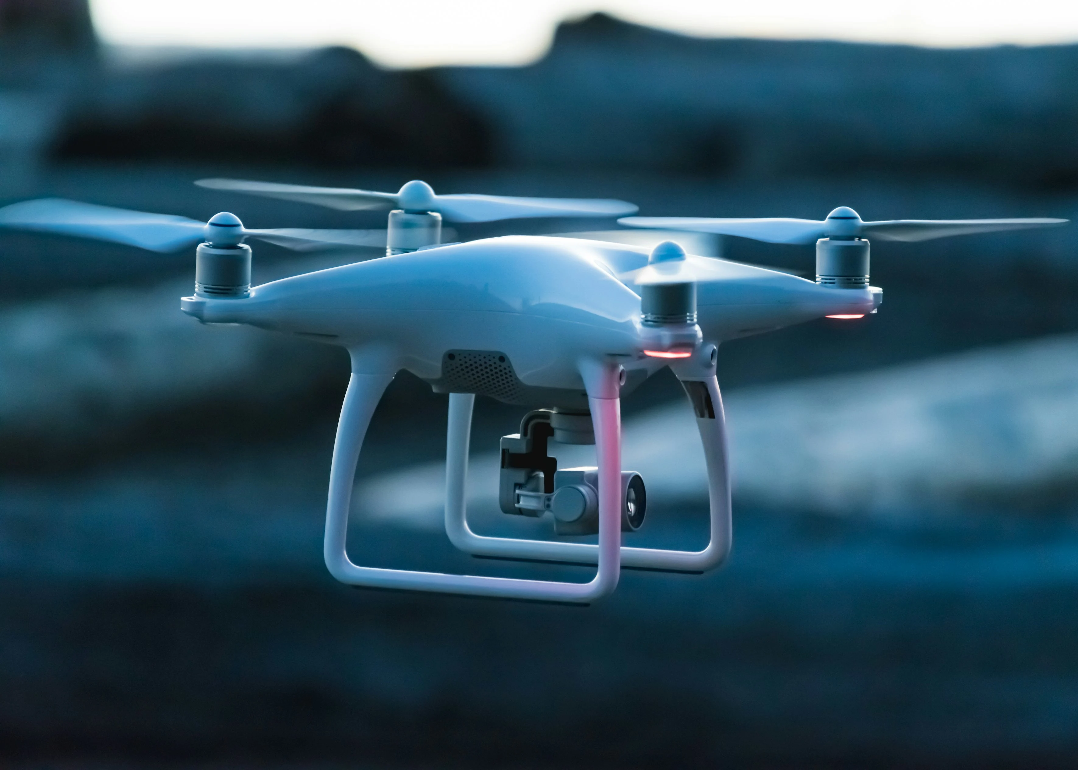
The professional UAV industry has experienced rapid expansion across aerial mapping, infrastructure inspection, utility corridor monitoring, land surveying, precision agriculture, and emergency response. As drone platforms take on increasingly demanding missions, the quality of positioning data has become one of the most critical factors determining overall mission success.
Conventional GNSS positioning, typically delivering 2 to 5 meters of accuracy, is adequate for consumer drones but falls far short of the requirements for professional applications. Survey-grade photogrammetry demands centimeter-level accuracy. Infrastructure inspection requires reliable navigation in complex RF environments. Autonomous flight depends on stable, low-latency positioning for safe navigation. High precision GNSS modules with RTK capability have emerged as the enabling technology that bridges the gap between consumer-grade drones and professional-grade UAV systems.
This article examines the positioning challenges facing modern UAV operations, explains why high-precision GNSS modules are essential for professional applications, and provides practical guidance for engineers and procurement teams evaluating UAV positioning hardware.
Challenges Facing Modern UAV Mapping and Inspection
Professional UAV missions operate in environments that are fundamentally hostile to reliable GNSS positioning. Understanding these challenges is the first step toward selecting the right positioning solution.
Signal blockage is a persistent problem. UAVs mapping urban canyons, forested terrain, or mountainous regions frequently lose direct line-of-sight to GNSS satellites. When fewer than four satellites are visible, standard GNSS positioning degrades or fails entirely. Even partial blockage increases position dilution of precision (PDOP), reducing accuracy below acceptable thresholds.
Multipath interference occurs when GNSS signals reflect off buildings, power lines, water surfaces, or metallic structures before reaching the receiver. The receiver cannot distinguish between direct and reflected signals, introducing positioning errors that can range from several centimeters to several meters. This is particularly problematic during power line inspection and urban infrastructure surveys where reflective surfaces are omnipresent.
Lightweight payload limitations constrain every aspect of UAV design. Every gram added to the positioning system reduces flight time, payload capacity, or both. Professional drones must carry cameras, LiDAR units, communication modules, and flight controllers alongside GNSS hardware. A bulky positioning module is simply not an option for most professional airframes.
Battery constraints directly impact mission duration. A GNSS module that draws excessive power shortens flight time and reduces the area that can be surveyed in a single mission. For long-endurance inspection missions along power transmission corridors or pipelines, ultra-low-power positioning is essential.
Harsh RF environments challenge positioning stability. Industrial sites, power substations, and communication towers generate electromagnetic interference that can disrupt GNSS signal reception. Without robust anti-interference capabilities, the positioning solution becomes unreliable precisely when it is needed most.
Why High-Precision GNSS Modules Matter
High precision GNSS modules address the limitations of conventional positioning through several key technologies that work together to deliver reliable, centimeter-level accuracy in demanding environments.
RTK positioning is the foundation of professional UAV accuracy. Real-Time Kinematic processing uses carrier-phase measurements from a base station or network to correct satellite signal errors in real time, reducing positioning accuracy from meters to centimeters. For UAV photogrammetry, this eliminates the need for ground control points in many scenarios, dramatically reducing fieldwork time and cost.
Multi-constellation reception improves reliability by tracking signals from GPS, BDS, GLONASS, and Galileo simultaneously. With more satellites visible, the receiver maintains positioning even when some signals are blocked or degraded. This is particularly valuable for UAVs operating in urban canyons or mountainous terrain where sky visibility is limited.
Multi-frequency tracking across L1, L2, and L5 bands provides several advantages. Dual-frequency observations enable ionospheric error correction, which is the largest source of GNSS positioning error after atmospheric effects. L5 signals, with their wider bandwidth and improved signal structure, offer better multipath resistance and faster ambiguity resolution.
Fast RTK convergence minimizes the time between power-on and centimeter-level positioning. Professional UAVs cannot afford to wait minutes for RTK to initialize. Modern high-precision GNSS modules achieve RTK fixed solutions in under 10 seconds, allowing rapid mission deployment and efficient flight operations.
Low-power operation is achieved through integrated circuit design that minimizes power consumption without sacrificing performance. Ultra-low-power RTK modules draw only a fraction of the power of traditional receivers, preserving battery life for extended flight missions.
Typical UAV Applications
UAV Photogrammetry
Aerial photogrammetry relies on accurate position data to georeference each photograph. With conventional GNSS, ground control points must be placed across the survey area to achieve acceptable accuracy, adding significant time and labor cost to each project. RTK-enabled high precision GNSS modules tag each image with centimeter-level position data, reducing or eliminating the need for ground control points. This accelerates project turnaround, improves data quality, and enables surveys in inaccessible terrain where placing ground control is impossible.
For large-scale mapping projects, the combination of multi-constellation reception and fast RTK convergence ensures consistent accuracy across the entire flight area. A GNSS RTK module for UAV photogrammetry must maintain stable positioning throughout the flight to ensure seamless image stitching and accurate orthophoto generation.
Power Line Inspection
Power line inspection presents one of the most challenging environments for GNSS positioning. Transmission towers, high-voltage conductors, and metallic structures create severe multipath interference and electromagnetic noise. UAVs must navigate close to energized infrastructure while maintaining precise position control for safe obstacle avoidance and detailed imaging.
High-precision GNSS modules with anti-interference capabilities maintain stable positioning in these harsh RF environments. Dual-antenna heading provides reliable orientation information even when the drone is hovering or moving slowly, which is essential for controlled inspection of tower components and conductor connections. The ability to achieve and maintain RTK fixed solutions near power infrastructure directly impacts inspection quality and flight safety.
Infrastructure Inspection
Bridge inspection, railway monitoring, highway surveying, and construction site documentation all benefit from high-precision GNSS positioning. These applications require the UAV to navigate around complex structures where GNSS signals may be partially blocked or reflected. Centimeter-level positioning ensures that each inspection image is accurately georeferenced, enabling precise defect localization and automated comparison with previous inspection data.
For recurring inspections, consistent positioning accuracy is essential for change detection. Even small positioning errors can make it difficult to compare images from different inspection cycles, potentially masking structural changes. A GNSS module for drone inspection must deliver repeatable centimeter-level accuracy across multiple flights and environmental conditions.
Precision Agriculture
Agricultural drones perform field mapping, crop health monitoring, variable-rate application, and precision spraying. Each of these tasks benefits from accurate positioning. RTK-enabled modules enable precise flight path repetition, ensuring that the drone covers the entire field without gaps or overlaps. For precision spraying, centimeter-level accuracy ensures that inputs are applied exactly where needed, reducing waste and environmental impact.
Agricultural operations often span large areas with limited communication infrastructure. High-precision GNSS modules that support multiple correction delivery methods, including radio, 4G, and satellite-based augmentation, ensure reliable RTK coverage across the entire operating area.
Key Features to Consider When Choosing a UAV GNSS Module
Selecting the right GNSS module for a UAV platform requires evaluating multiple factors beyond positioning accuracy. The following criteria are essential for professional UAV applications:
Recommended JUMPSTAR UAV Positioning Solutions
JUMPSTAR offers a range of GNSS positioning solutions designed specifically for professional UAV applications. The following products address the most common requirements across mapping, inspection, and autonomous flight missions.
.jpg?imageMogr2/format/webp)
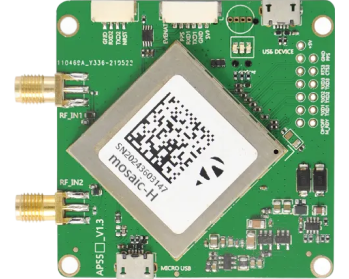
X43H-AH
Professional RTK Receiver for High-Precision UAV Navigation
The X43H-AH is a multi-frequency RTK receiver featuring 789 tracking channels and dual-antenna heading capability with 0.03 degree accuracy at a 5-meter baseline. With 0.6cm + 0.5ppm RTK positioning accuracy, a 20Hz update rate, and sub-10-millisecond latency, it delivers survey-grade performance for the most demanding UAV missions. Advanced anti-jamming technologies, including AIM+, LOCK+, and APME+, ensure reliable positioning in complex electromagnetic environments. The dual-antenna heading capability is particularly valuable for power line inspection and infrastructure surveying, where magnetic compass reliability is compromised by nearby metallic structures.
View Product Details.png?imageMogr2/format/webp)
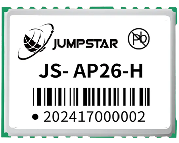
JS-UK43
Compact Integrated RTK Positioning Module
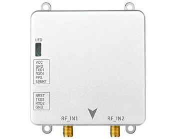
The JS-UK43 is a compact integrated RTK positioning module designed for OEM drone integration. Its small form factor and lightweight design make it ideal for embedded installation in compact UAV platforms where space and weight are at a premium. Despite its compact size, the module supports full-constellation, multi-frequency tracking and delivers centimeter-level RTK positioning. The integrated design simplifies system architecture, reducing development time for UAV manufacturers and system integrators who need a turnkey positioning solution without the complexity of discrete component integration.
View Product Details.png?imageMogr2/format/webp)
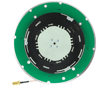
JS-HAC27A-D2
Lightweight UAV Helical GNSS Antenna
The JS-HAC27A-D2 is an ultra-lightweight helical GNSS antenna optimized for UAV and drone applications. Supporting L1, L2, and L5 frequency bands with full-constellation compatibility, it delivers stable signal reception in airborne environments. The helical design provides excellent multipath rejection and anti-interference performance, which is critical for reliable positioning near buildings, power lines, and other reflective surfaces. Its minimal weight has negligible impact on flight endurance, making it an ideal pairing with compact RTK modules for professional UAV platforms.
View Product DetailsFuture Trends in UAV Positioning
The UAV industry is evolving rapidly, and positioning technology must keep pace with emerging operational concepts and regulatory frameworks.
Autonomous flight and BVLOS operations require positioning solutions that deliver consistent accuracy without human intervention. Beyond Visual Line of Sight missions depend on reliable navigation for extended periods, making multi-constellation RTK with fast re-convergence essential. As regulatory frameworks for BVLOS operations mature, high-precision GNSS will become a baseline requirement rather than a competitive advantage.
AI-assisted navigation is transforming how UAVs process positioning data. Machine learning algorithms can predict and compensate for multipath patterns, optimize satellite selection, and improve positioning reliability in challenging environments. High-precision GNSS modules that provide raw measurement data at high update rates enable these AI systems to function effectively.
Drone swarms require each UAV to maintain precise relative positioning while coordinating with other members of the swarm. RTK-enabled modules with dual-antenna heading provide the accurate, low-latency position data needed for collision avoidance and formation flight control.
Digital twins and multi-sensor fusion are driving demand for higher positioning accuracy and data quality. When GNSS data is fused with LiDAR, inertial measurement units, and computer vision, the quality of the GNSS input directly determines the quality of the final digital model. High-precision GNSS modules with raw measurement output and timestamp synchronization capabilities are essential for these advanced multi-sensor systems.
Conclusion
High-precision GNSS modules have become a fundamental technology for professional UAV applications. From centimeter-level mapping accuracy to reliable navigation in complex RF environments, RTK-enabled positioning solutions directly determine the quality, safety, and efficiency of UAV missions.
As UAV applications continue to expand into autonomous flight, BVLOS operations, and multi-sensor digital twin generation, the demands on positioning technology will only increase. Selecting the right GNSS module, antenna, and receiver combination is a critical engineering decision that impacts every aspect of UAV performance.
JUMPSTAR offers a comprehensive range of high precision GNSS modules, RTK receivers, and specialized UAV antennas designed to meet the diverse requirements of professional drone applications. Whether you are building an OEM drone platform, integrating a survey-grade mapping system, or developing an autonomous inspection solution, JUMPSTAR positioning technology provides the accuracy, reliability, and integration flexibility that professional UAV missions demand.
Need help selecting the right GNSS positioning solution for your UAV platform? Contact JUMPSTAR engineers for personalized technical consultation.
Contact Our Engineering TeamFrequently Asked Questions
Q: Why do professional UAVs require RTK GNSS?
Professional UAV applications such as aerial mapping, infrastructure inspection, and precision agriculture require centimeter-level positioning accuracy that conventional GNSS cannot provide. RTK GNSS uses carrier-phase corrections to achieve 1 to 2 centimeter accuracy, enabling survey-grade results without ground control points and ensuring reliable navigation in complex environments.
Q: What is the difference between standard GNSS and RTK positioning?
Standard GNSS positioning typically achieves 2 to 5 meters of accuracy using code-phase measurements. RTK positioning uses carrier-phase measurements with real-time corrections from a base station or network to achieve centimeter-level accuracy. RTK also provides faster update rates and lower latency, which are essential for autonomous flight and precise navigation.
Q: How does GNSS improve drone mapping accuracy?
RTK GNSS modules tag each aerial photograph with centimeter-level position data, eliminating or significantly reducing the need for ground control points. This accelerates fieldwork, improves orthophoto accuracy, and enables consistent results across large survey areas. Multi-frequency tracking further improves accuracy by correcting ionospheric errors.
Q: Why is low power consumption important for UAV GNSS modules?
Battery life is the primary constraint on UAV flight duration. A GNSS module that draws excessive power reduces flight time, survey coverage, and mission efficiency. Ultra-low-power RTK modules minimize their impact on the power budget, allowing more time for data collection and extending the range of single-charge missions.
Q: How does antenna selection affect UAV positioning?
The antenna is the critical interface between GNSS satellites and the receiver. A high-quality antenna with good multipath rejection, such as a helical design, significantly improves positioning accuracy and reliability in environments with reflective surfaces. Antenna gain, radiation pattern, and frequency band support directly determine signal quality and positioning performance.
Q: Which JUMPSTAR solution is suitable for UAV mapping?
For professional UAV mapping requiring survey-grade accuracy, the X43H-AH RTK receiver with dual-antenna heading and 789 tracking channels provides the highest level of performance. For compact drone platforms with size and weight constraints, the JS-UK43 integrated RTK module offers centimeter-level positioning in a compact form factor. Both solutions pair effectively with the JS-HAC27A-D2 helical antenna for optimal signal reception.
Q: What should OEM manufacturers consider when selecting a UAV GNSS module?
OEM manufacturers should evaluate size, weight, power consumption, RTK capability, multi-constellation and multi-frequency support, anti-interference performance, initialization speed, heading capability, and interface compatibility with target autopilot systems. The module's integration complexity, firmware flexibility, and availability of technical support are also important considerations for production-scale UAV programs.
.png?imageMogr2/format/webp)
.png?imageMogr2/format/webp)