




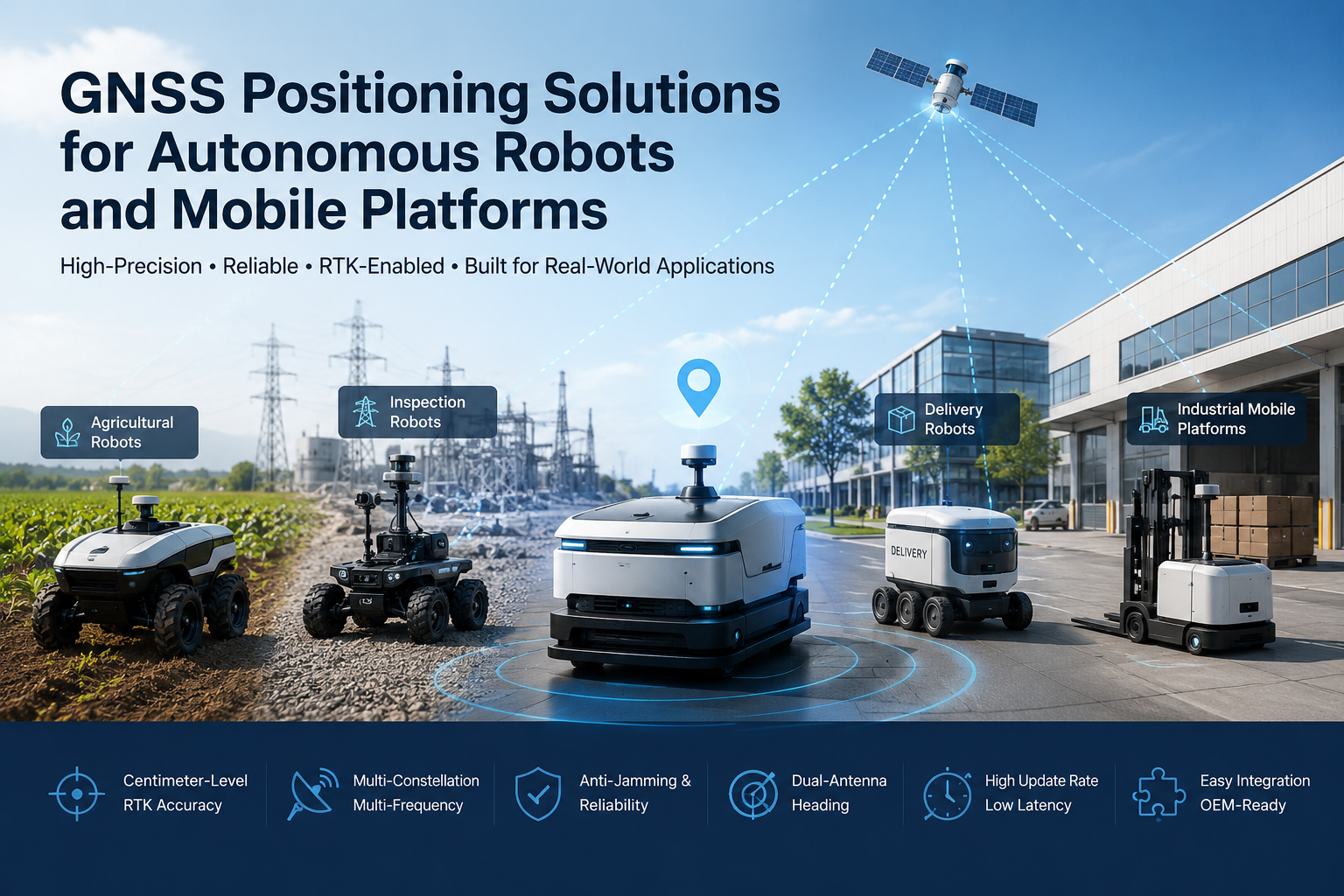
Autonomous robots are moving beyond controlled indoor environments into outdoor and semi-outdoor applications: agricultural robots working across fields, inspection robots patrolling power and pipeline infrastructure, delivery robots serving campuses and industrial parks, autonomous vehicles, and industrial mobile platforms operating in large outdoor facilities. As soon as a robot moves beyond a fixed workspace, the system must continuously answer three questions: Where am I? Where am I going? How should I move there?
GNSS positioning for autonomous robots provides the absolute geographic reference that anchors the whole navigation system. A GNSS receiver tells the robot controller where the platform is in global coordinates, and when the application demands more, RTK adds centimeter-level positioning — provided correction data and suitable sky visibility are available. This article explains how GNSS and RTK fit into autonomous robot systems, where they deliver the most value, how they combine with IMU and other sensors, and what OEMs should evaluate when selecting a GNSS module for a mobile platform.
Why Positioning Is Critical for Autonomous Robots
Reliable positioning is the foundation outdoor autonomous robots are built on. Consider what the robot controller needs position data for:
- Accurate position estimation — the robot needs to know its real-time position before it can plan any subsequent motion.
- Route following — guidance, spraying, mowing, and inspection all require the robot to stay on a planned path rather than wander.
- Repeatable navigation — for inspection, agriculture, and logistics, the same routes are executed over and over, and each run must align with the previous one.
- Geofencing and area management — position data lets the system confirm the robot is inside its authorized operating area and respond if it is not.
- Fleet coordination — when several mobile platforms work the same site, shared and reliable position information helps them de-conflict routes and coordinate coverage.
It is important to be precise about what GNSS can and cannot do. Indoor operation, dense canopy, and severe obstructions can degrade or remove the signal entirely, which is why production robot systems combine GNSS with other sensors. But for outdoor platforms, GNSS remains the most practical source of an absolute, drift-free position reference, and that role is hard to replace with any single alternative sensor.
How GNSS Supports Autonomous Mobile Platforms
In a typical robot system, GNSS hardware works as one input to the navigation stack. An antenna receives satellite signals, the receiver or module processes them and outputs position and velocity data, the robot controller consumes that data, and the navigation system uses it for path planning and motion control. The receiver can deliver several types of information:
- Position — absolute coordinates in latitude, longitude, and altitude.
- Velocity — derived from the Doppler shift of the signals, often more accurate and lower-latency than differentiating successive positions.
- Time — GNSS receivers output precise time that can synchronize subsystems and data logging.
- Heading — with dual-antenna capability or an integrated compass, the receiver can also report the platform's orientation.
The robot controller combines this data with other inputs — wheel odometry, an IMU, cameras, LiDAR — to build the position estimate that drives the actuators. GNSS is the component that keeps that estimate anchored to the real world over long distances and long operating hours, without the drift that pure dead-reckoning sensors accumulate.
RTK GNSS for High-Precision Robot Navigation
Standard GNSS delivers meter-level accuracy, which is fine for simple navigation but not for operations that must be repeatable to centimeters. RTK — Real-Time Kinematic — closes that gap. An RTK receiver uses carrier-phase measurements plus real-time corrections from a base station or network service, and when it achieves a fixed solution, it reports position at centimeter-level accuracy.
The value of RTK for robots is not a headline accuracy number; it is what that accuracy enables in practice: centimeter-level positioning instead of meters, improved repeatability so that rows, routes, and work passes reproduce consistently run after run, and reduced positioning error so the drift and bias that make meter-level navigation unusable for precise work are largely removed.
Centimeter-level RTK matters most where the robot's tools and decisions depend on exact position: precision agricultural robots that must keep equipment aligned with crop rows, inspection robots that must revisit the same asset or defect location, autonomous outdoor equipment performing controlled tasks, and high-precision mobile platforms operating close to fixed infrastructure. For a comparison with post-processing alternatives, see our guide on RTK vs. PPK correction methods.
GNSS Positioning for Autonomous Robots Across Platforms
The same positioning technology takes different shapes depending on the platform and mission:
Agricultural Robots
Field robots need autonomous navigation that stays aligned with rows and boundaries, plus repeatable routes across a season. RTK positioning is the standard choice here because the operating environment is open-sky and centimeter-level repeatability directly translates into more consistent field operations.
Inspection Robots
Inspection platforms patrol power infrastructure, pipelines, and outdoor assets along predefined routes and must return to the same points to compare conditions over time. Route-based monitoring depends on the robot knowing, within centimeters, where it was when each measurement was taken.
Delivery and Service Robots
Outdoor delivery robots, campus logistics platforms, and industrial-park transport systems cover longer distances on footpaths and internal roads. Reliable absolute positioning keeps the robot on its planned route between waypoints and provides redundancy that lets the navigation stack recover from local sensor errors.
Industrial Mobile Platforms
Warehouse yards, construction sites, ports, and mining sites host large mobile equipment operating in open but harsh environments. GNSS receivers on these platforms support machine positioning, route management, and site awareness, and need the robustness to keep working under vibration, dust, and temperature extremes.
GNSS + IMU and Sensor Fusion for Reliable Robot Navigation
A production robot navigation system rarely relies on a single sensor, and GNSS is no exception. In practice, GNSS works alongside an IMU that provides motion and attitude over short intervals, wheel odometry that reports the vehicle's own motion between fixes, and cameras or LiDAR that give the robot a local view of its surroundings.
Each sensor has strengths and weaknesses. GNSS gives an absolute position reference that does not drift, but it can be interrupted or degraded. An IMU fills those gaps for short periods but drifts over time. Odometry is self-contained but accumulates error. Vision and LiDAR excel locally but struggle with long-range position and global anchoring. Sensor fusion combines these inputs so the robot's position and heading estimate is more accurate and robust than any single sensor could deliver alone. For a deeper look at fusion in GNSS-denied conditions, see the role of IMU and sensor fusion in GNSS-denied environments.
Why Dual-Antenna Heading Matters for Autonomous Robots
A robot that navigates outdoors needs to know not only where it is but also which way it is facing. Single-antenna GNSS reports position, and heading must come from somewhere else — typically a compass or an IMU. A compass measures the Earth's magnetic field, which is reliable in open areas but can be disturbed by metal structures, electric motors, and other sources of magnetic interference common on robot platforms.
Dual-antenna GNSS solves this differently: by measuring the phase difference between two antennas mounted at a known separation, the receiver computes the platform's orientation directly from the satellite signals. Because it does not depend on magnetic measurements, it can provide a more stable heading reference in electromagnetically complex environments. Where the receiver supports it, the same dual-antenna geometry can also output pitch and roll.
This matters for autonomous vehicles, mobile robots, and agricultural machinery whose control loops depend on accurate orientation — for example, keeping an implement aligned, or steering a vehicle along a straight line under vibration. Dual-antenna GNSS is not a replacement for an IMU; it complements it. Many systems use GNSS heading together with an IMU, with the GNSS heading acting as a stable reference that keeps the fused attitude estimate from drifting.
GNSS Challenges in Real-World Robot Environments
Real robot environments are rarely ideal for GNSS. Understanding the failure modes helps OEMs specify the right hardware:
- Signal blockage — buildings, trees, and bridges can hide satellites and reduce the number of usable signals.
- Multipath — signals reflected off buildings and metal structures arrive at the antenna after the direct signal, corrupting the measurement.
- Electromagnetic interference — industrial equipment, motors, and power electronics can inject noise into the RF environment.
- Dynamic movement — rapid motion and vibration place higher demands on the receiver's tracking loops and update rate.
- Urban and semi-outdoor conditions — urban canyons combine partial sky visibility with reflected signals, and partially sheltered areas sit between full open sky and indoor operation.
The engineering responses to these challenges are well established: multi-constellation and multi-frequency reception to maximize usable satellites (see our article on multi-constellation GNSS and L1/L2/L5 frequency bands), front-end filtering and anti-jamming techniques to resist interference, multipath mitigation algorithms to reject reflected signals, high update rates and low latency to keep up with dynamics, and sensor fusion to bridge the gaps where GNSS alone cannot deliver.
What Should OEMs Look for in a GNSS Solution?
Selecting a GNSS module or receiver means matching the technology to the mission. The evaluation criteria that matter most:
- Positioning accuracy — choose the accuracy class the application actually needs: meter-level for basic navigation, sub-meter where tighter, or centimeter-level RTK for precision work.
- Update rate — a fast-moving platform needs a higher output rate so the controller always has fresh position; rates of 10 Hz and above are common in dynamic robotics, and the exact requirement depends on the product's actual specification.
- Latency — the delay between a position being measured and delivered to the controller; low latency matters for real-time control loops.
- Heading capability — if the robot needs orientation, consider a receiver or module with dual-antenna heading support, and evaluate heading accuracy together with the antenna baseline length.
- GNSS constellations — check support for GPS, BDS, GLONASS, Galileo, QZSS, NavIC, and SBAS as available on the product; more constellations mean more redundancy.
- Frequency support — single-frequency is simpler, dual-frequency improves RTK reliability, and multi-frequency adds robustness; compare L1, L2, and L5 coverage.
- Interfaces — match the electrical interfaces (UART, CAN, I2C, USB, Ethernet) to the robot controller's available buses.
- Size and power — for small mobile platforms, dimensions, weight, and power consumption are first-order design constraints.
- Environmental reliability — outdoor robots face temperature extremes, vibration, shock, dust, and moisture; confirm the product's operating range and protection for the intended environment.
The right answer depends on the robot's mission profile, and the specification must be validated in the actual operating environment — an open field, a tree line, a port yard, or an industrial site behave very differently.
JUMPSTAR GNSS Solutions for Autonomous Robots
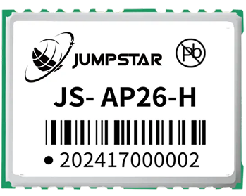
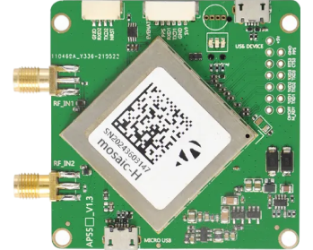
JUMPSTAR provides GNSS modules, RTK receivers, OEM boards, positioning terminals, and related GNSS solutions for high-precision positioning applications, with a product range designed for OEM integration rather than laboratory use. Three of its products map directly onto the needs of autonomous robot and mobile platform builders:
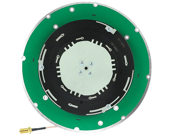
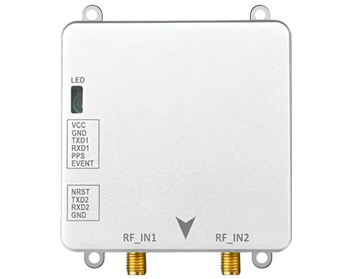
The JS-RK43-3 is a dual-band (L1+L5) GNSS high-precision positioning module that fits compact embedded robot and UAV platforms. Its integrated antenna, 200 high-speed channels, and centimeter-level RTK performance (horizontal 1.0 cm + 1 ppm) come in a package of approximately Φ48 × 43.2 × 37 mm weighing under 23.2 g, with an average operating current of 58 mA at 5.0 V. For small platforms where size and power are tight, it can be integrated into robot systems, agricultural equipment, and UAV navigation, and it supports both rover and base-station operation.
Where the robot must know its orientation as well as its position, the JS-SK43H-AH is a compact multi-band RTK positioning and heading smart antenna module. It tracks 789 hardware channels, achieves RTK accuracy of 0.6 cm + 0.5 ppm, and its dual-antenna design delivers ultra-short-baseline heading down to 0.03°. Signal latency below 10 ms (99.9%) suits high-dynamic platforms, and its AIM+, LOCK+, IONO+, and APME+ interference and spoofing mitigation technologies help maintain stable positioning in complex electromagnetic environments.
For high-dynamic platforms that need the fastest position updates, the JS-X6S is a multi-band, multi-constellation GNSS receiver with 448 hardware channels and a 100 Hz update rate with sub-10 ms latency. It is available in single-antenna (positioning) and dual-antenna (positioning plus heading and attitude) versions, and it combines AIM+, LOCK+, APME+, IONO+, and RAIM+ interference protection with rich interfaces — three UARTs, Type-C USB, and an Ethernet port — plus compatibility with mainstream open-source autopilots.
The full JUMPSTAR range of modules, receivers, and antennas can be explored on the JUMPSTAR products page.
Designing a GNSS Positioning System for Autonomous Robots
The GNSS receiver or module is one link in a larger chain, and the system only performs as well as its weakest link. A complete GNSS-based positioning system for a robot platform typically includes:
- GNSS receiver or module — the positioning engine that produces position, velocity, and optionally heading.
- GNSS antenna — selected for the frequency bands and the multipath environment; antenna placement on the platform matters as much as the receiver.
- RTK correction data — a base station or network service delivering RTCM corrections when centimeter-level accuracy is required.
- Robot controller — the computer that consumes positioning data and runs the navigation logic.
- Sensor fusion — combining GNSS with an IMU, odometry, and other sensors for continuity and robustness.
- Navigation and motion control — the algorithms that turn the fused position and heading into steering and drive commands.
The real-world performance of this system depends on more than the receiver's spec sheet: antenna installation and sky view, correction data quality, satellite visibility, the RF environment, the controller architecture, the fusion algorithm, and the software stack all contribute. An OEM that treats the GNSS subsystem as an engineered part of the robot — specified, integrated, and validated together with the antenna, corrections, and software — gets far more reliable navigation than one that bolts a receiver onto the chassis at the end of the design.
Conclusion
GNSS provides an essential absolute positioning reference for autonomous robots and mobile platforms, and GNSS positioning for autonomous robots has become a core technology decision for OEMs building outdoor platforms. RTK further improves accuracy to the centimeter level for applications that demand precise, repeatable navigation. Depending on the platform, the right choice may be a compact GNSS module for embedded integration, an RTK receiver for centimeter-level work, a dual-antenna solution where heading matters, a high-update-rate receiver for dynamic control, or a multi-frequency system for maximum robustness in difficult environments.
Whichever direction the application takes, the practical path is the same: define the positioning budget from the mission, validate the technology in the real environment, and integrate the GNSS subsystem as a designed part of the robot rather than an afterthought.
Building an autonomous robot or mobile platform?
JUMPSTAR provides GNSS modules, RTK receivers, and positioning solutions designed for OEM integration across autonomous robots, mobile platforms, UAVs, and high-precision applications.
Contact JUMPSTAR to Discuss Your GNSS Requirements.png?imageMogr2/format/webp)
.png?imageMogr2/format/webp)