


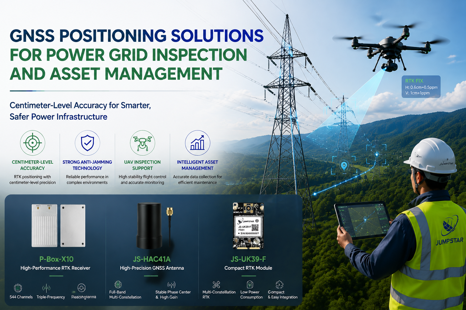
Modern power grids depend on extensive networks of transmission lines, towers, substations, and distribution infrastructure spread across thousands of kilometers. Ensuring the reliability of these assets requires regular inspection—a task that traditional manual methods struggle to perform efficiently. GNSS positioning solutions for power grid inspection have emerged as a foundational technology that enables UAV-based autonomous inspection, precise asset location management, and safer maintenance operations.
This article examines the challenges of power grid inspection, how RTK GNSS technology addresses them, and the JUMPSTAR positioning solutions that support intelligent inspection systems.
Challenges in Modern Power Grid Inspection
Power grid operators face a combination of geographic, technical, and operational challenges that make inspection complex, costly, and sometimes hazardous. Understanding these challenges is the first step toward implementing effective technology-based solutions.
Difficult Terrain and Large Inspection Areas
Transmission networks traverse remote mountains, dense forests, valleys, and other hard-to-reach areas. A single inspection route may cover hundreds of kilometers of power lines with hundreds of towers. Sending inspection crews to these locations on foot or by vehicle is slow, labor-intensive, and often impossible during adverse weather. The sheer scale of modern power grids makes comprehensive manual inspection impractical on a regular schedule.
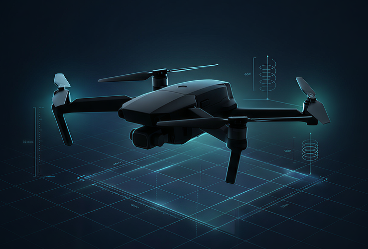
UAV-based power grid inspection addresses this challenge by enabling aerial coverage of large areas in a fraction of the time. However, effective UAV inspection requires reliable positioning technology that can maintain accuracy and stability across diverse terrain types and long-distance flight paths.
High Accuracy Requirements for Asset Management
Power infrastructure asset management depends on accurate location data. Tower positions, inspection waypoints, defect locations, and maintenance records all require precise geographic coordinates to be meaningful. Standard GNSS positioning typically achieves 2-5 meter accuracy—insufficient for identifying specific tower components or correlating inspection findings across multiple missions.
RTK (Real-Time Kinematic) GNSS technology delivers centimeter-level positioning by using carrier-phase measurements from a base station or network correction service. This level of accuracy enables inspectors to record defect locations with precision, plan repeatable inspection routes, and build reliable digital asset databases. The difference between meter-level and centimeter-level positioning is the difference between approximate and actionable inspection data.
Complex Signal Environments
Power grid environments present some of the most challenging GNSS signal conditions in industrial applications. High-voltage transmission lines generate electromagnetic interference that can degrade GNSS signal quality. Metallic tower structures create multipath effects where reflected signals arrive at the receiver with slight delays, corrupting position calculations. In mountainous terrain and urban corridors, satellite signals may be partially blocked, reducing the number of visible satellites below the threshold needed for reliable positioning.
These factors mean that a standard GNSS receiver may produce unstable or inaccurate positions during UAV inspection flights—exactly when consistent, reliable positioning is most critical. GNSS RTK positioning systems with advanced signal processing technologies are specifically designed to mitigate these challenges.
How RTK GNSS Technology Improves Power Grid Inspection
RTK GNSS technology transforms power grid inspection by providing the positioning accuracy, signal resilience, and dynamic performance that UAV inspection systems require. The following sections explain how specific technological capabilities translate into inspection improvements.
Centimeter-Level Positioning for UAV Inspection
RTK positioning enables UAVs to fly precise inspection paths along transmission lines, maintain stable hovering positions for detailed imaging, and record the exact geographic coordinates of every inspection point. Centimeter-level accuracy means that a UAV can revisit the same tower or line segment on different missions and capture comparable data—a critical requirement for tracking infrastructure condition over time.
For autonomous UAV inspection systems, high-precision positioning is even more important. Autonomous flight controllers rely on accurate position data to navigate pre-planned routes, avoid obstacles, and maintain safe distances from energized infrastructure. Without RTK-level accuracy, autonomous inspection is unreliable and potentially dangerous.
.jpg?imageMogr2/format/webp)
JUMPSTAR P-Box-X10 — High-Precision RTK GNSS Receiver
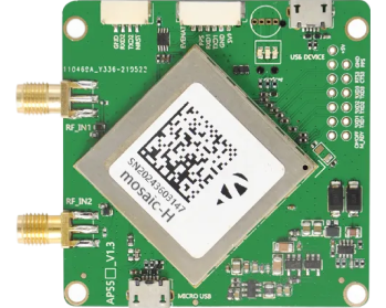
The P-Box-X10 is engineered for demanding UAV inspection and autonomous navigation applications. With 544 hardware channels tracking GPS, BDS, GLONASS, Galileo, QZSS, NavIC, and SBAS triple-frequency signals, it delivers RTK horizontal accuracy of 0.6 cm + 0.5 ppm. The dual-antenna heading capability provides attitude accuracy of 0.03° at a 5 m baseline without magnetic sensor dependency. A 100 Hz update rate with <10 ms latency ensures stable positioning during high-speed UAV flight and rapid maneuvering.
Reliable Positioning in Challenging Environments
Power grid inspection environments demand more than raw accuracy—they require signal resilience. The electromagnetic fields around high-voltage lines, multipath reflections from metal towers, and signal attenuation in remote areas all challenge GNSS receivers. Advanced anti-interference and signal processing technologies are essential for maintaining positioning integrity during inspection missions.
The P-Box-X10 integrates a comprehensive suite of signal resilience technologies designed specifically for complex electromagnetic environments:
AIM+ Interference Suppression. Multi-layer anti-jamming technology that detects and mitigates RF interference from power infrastructure, communication towers, and other electronic equipment operating near inspection sites.
APME+ Multipath Suppression. Advanced multipath mitigation that filters reflected signals from metallic tower structures, buildings, and terrain features—maintaining position accuracy even in signal-rich reflective environments.
IONO+ Ionospheric Mitigation. Compensates for ionospheric scintillation effects that can degrade RTK performance during periods of high solar activity, ensuring consistent accuracy across seasons and geographic regions.
LOCK+ Vibration Resistance. Maintains satellite signal tracking under high-vibration conditions encountered during UAV flight, reducing signal loss and re-acquisition delays.
RAIM+ Integrity Monitoring. Receiver autonomous integrity monitoring that detects and flags unreliable position solutions, providing an additional layer of safety for autonomous inspection operations.
OSNMA Anti-Spoofing. Galileo Open Service Navigation Message Authentication protects against GNSS spoofing attacks, ensuring that positioning data used for critical infrastructure inspection is authentic and trustworthy.
High-Performance GNSS Antenna for Reliable Signal Reception
Even the most advanced RTK receiver cannot perform to its potential without a high-quality antenna. In power grid inspection, the antenna must maintain stable signal reception across all visible satellites while operating in proximity to electromagnetic interference sources. Phase center stability is particularly important—any variation introduces position errors that compound over long inspection routes.
.png?imageMogr2/format/webp)
JUMPSTAR JS-HAC41A — Full-Band High-Precision GNSS Antenna
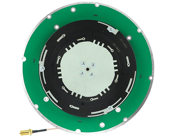
The JS-HAC41A provides full-band coverage across GPS L1/L2/L5, BDS B1I/B2I/B3I, GLONASS G1/G2/G3, and Galileo E1/E5a/E5b/E6. Its stable phase center and excellent low-elevation gain ensure consistent signal reception even when satellites are near the horizon—critical for UAV inspection in mountainous terrain. With LNA gain of 32±2 dB, noise figure ≤2 dB, and 360° omnidirectional coverage, it delivers reliable signal quality for RTK positioning in challenging power grid environments.
JUMPSTAR GNSS Solutions for Power Grid Applications
Different inspection systems have different positioning requirements. A UAV carrying a high-resolution camera needs a full-featured RTK receiver with dual-antenna heading. A ground-based inspection robot may need a compact embedded module. JUMPSTAR's positioning portfolio spans GNSS positioning solutions from high-performance receivers to embedded RTK modules and precision antennas—allowing system integrators to select the optimal component for each application.
P-Box-X10: High-Precision RTK Receiver for UAV Inspection
The P-Box-X10 is the flagship RTK GNSS receiver for UAV-based power grid inspection. Its 544-channel architecture tracks all visible satellites across seven constellations and three frequency bands, ensuring maximum satellite availability even in partially obstructed environments. The dual-antenna heading capability provides accurate attitude information without relying on magnetic sensors—which are unreliable near power lines due to electromagnetic interference.
With a 100 Hz update rate and sub-10-millisecond latency, the P-Box-X10 delivers position data fast enough for high-speed autonomous flight control. Rich interfaces including Ethernet, triple UART, and Type-C simplify integration with UAV flight controllers, data loggers, and communication modules. The built-in 32 GB TF card slot supports raw data logging for post-mission analysis and PPP processing.
JS-UK39-F: Compact RTK Module for Embedded Inspection Systems
Not every inspection system requires a full-size receiver. Inspection robots, embedded monitoring equipment, and compact industrial devices benefit from a high precision GNSS module that delivers RTK accuracy in a small, low-power form factor. The JS-UK39-F is designed for exactly these applications.
.png?imageMogr2/format/webp)
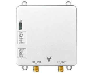
JUMPSTAR JS-UK39-F — Compact Multi-Band RTK Module
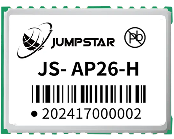
The JS-UK39-F integrates 192 search channels and 60 tracking channels with multi-constellation multi-frequency RTK capability. Delivering RTK accuracy of 1 cm + 1 ppm with tracking sensitivity of -167 dBm, it provides reliable centimeter-level positioning for embedded inspection systems. Its compact size and low power consumption (79-90 mA during acquisition, 77-85 mA during tracking at 5V) make it ideal for battery-powered inspection robots and compact monitoring devices.
Benefits of GNSS-Based Power Grid Inspection
Integrating high-precision GNSS positioning into power grid inspection workflows delivers measurable improvements across four key dimensions.
Improved Inspection Efficiency
UAVs equipped with RTK GNSS can cover significantly larger areas per mission than manual inspection crews. Precise flight path planning and autonomous navigation reduce operator workload, while consistent positioning enables systematic coverage of transmission line corridors without gaps or overlaps. What previously required days of manual fieldwork can often be completed in a single UAV flight.
Enhanced Operational Safety
Power grid inspection involves inherent risks: high-voltage equipment, difficult terrain, extreme weather exposure, and working at height. UAV-based inspection removes personnel from these hazards. Inspectors can operate from safe ground locations while the UAV captures high-resolution imagery and sensor data. RTK positioning ensures the UAV maintains safe distances from energized infrastructure throughout the mission.
More Accurate Asset Data
Centimeter-level positioning transforms asset management data quality. Every inspection image, thermal anomaly, and structural defect can be tagged with precise coordinates. This enables operators to build accurate digital asset registries, track condition changes over time, and plan maintenance with confidence. When a defect is identified, maintenance crews can navigate directly to the exact location—reducing response time and eliminating the ambiguity of approximate positions.
Support for Autonomous Inspection Systems
The future of power grid inspection is autonomous. UAVs that can plan routes, navigate transmission corridors, capture data, and return to base without continuous operator control rely fundamentally on high-precision, high-reliability GNSS positioning. RTK technology provides the positioning foundation that makes autonomous inspection feasible—enabling repeatable mission execution, reliable obstacle avoidance, and precise data geotagging.
Future of Intelligent Power Grid Inspection with GNSS Technology
The integration of GNSS positioning with emerging technologies is driving the next generation of power grid inspection capabilities. Several trends are shaping this evolution:
Autonomous UAV inspection is moving from pre-programmed waypoint flights toward fully autonomous corridor inspection. Advanced RTK receivers with dual-antenna heading provide the attitude and position data needed for autonomous navigation along transmission lines, with automated obstacle detection and avoidance.
AI-based defect detection leverages high-resolution imagery captured during GNSS-guided inspection flights. When each image is tagged with centimeter-level coordinates, AI algorithms can correlate findings across missions, detect subtle changes in infrastructure condition, and prioritize maintenance based on data-driven risk assessment.
Digital asset management platforms are integrating GNSS-accurate inspection data into comprehensive infrastructure models. Towers, lines, and substations are represented as geolocated digital assets with complete inspection histories, enabling predictive maintenance and lifecycle management.
Multi-sensor fusion combines RTK GNSS with LiDAR, thermal imaging, and visual cameras to create comprehensive inspection payloads. The GNSS receiver provides the positioning backbone that allows data from multiple sensors to be accurately georeferenced and combined into unified inspection deliverables.
Conclusion
High-precision GNSS RTK positioning has become an essential technology for modern power grid inspection. It enables UAVs to fly accurate inspection paths, supports reliable asset location management, and provides the positioning foundation for autonomous inspection systems. As power grids grow more complex and inspection demands increase, the role of GNSS technology will only expand.
JUMPSTAR provides a comprehensive portfolio of GNSS positioning solutions for industrial inspection applications—from the high-performance P-Box-X10 RTK receiver with 544 channels and dual-antenna heading, to the compact JS-UK39-F embedded RTK module, to the full-band JS-HAC41A precision antenna. Each product is engineered to deliver reliable centimeter-level positioning in the challenging environments where power grid inspection takes place.
Ready to upgrade your power grid inspection positioning?
.png?imageMogr2/format/webp)
.png?imageMogr2/format/webp)