




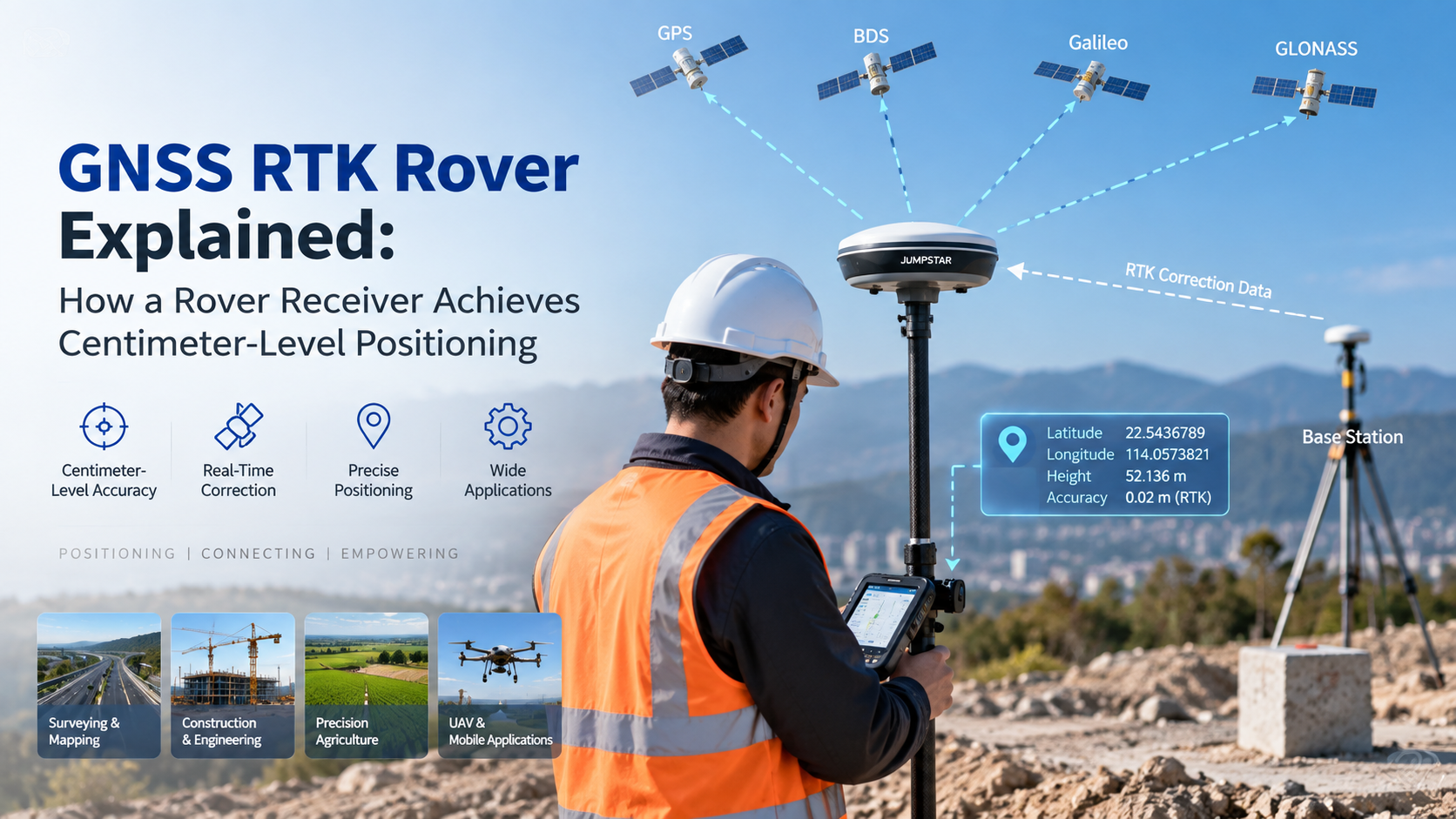
An RTK rover is the field receiver that combines its own GNSS observations with correction data to calculate a high-precision position. In a typical RTK setup, a base station or correction service supplies the correction data, and one or more rover receivers use it in the field. This article explains how a GNSS RTK rover works, what a fixed solution means, and what to consider when selecting one.
What Is a GNSS RTK Rover?
A GNSS RTK rover is the mobile receiver in an RTK positioning system. It tracks GNSS satellite signals, receives correction data from a base station or correction service, and processes both inputs together to produce its positioning solution.
A rover is not just a standard receiver with better accuracy. Its defining role is participating in RTK correction processing while operating as the moving end of the system. In a typical architecture, the base or correction source and the rover work together: the static side observes known-position signals, and the rover applies that information to its own measurements during field operation.
How Does an RTK Rover Work?
The workflow from satellites to a precise position looks like this:
GNSS Satellites → Base Station / Correction Service → RTK Correction Data → Rover Receiver → RTK Processing → Fixed Solution → High-Precision Position
In practice, the rover performs five steps:
- It receives GNSS satellite signals and records carrier-phase and pseudorange observations.
- It obtains correction data from a base station or correction service.
- It combines its own observations with the correction data.
- It resolves carrier-phase ambiguities when conditions allow.
- It outputs an RTK solution for the current position.
No complex math is required to understand the concept: the rover's precision comes from processing difference corrections against its own carrier-phase measurements in real time.
What Is an RTK Fixed Solution?
An RTK receiver typically reports either a fixed solution or a float solution. A fixed solution generally indicates that the carrier-phase ambiguities have been successfully resolved; a float solution means they have not yet been fully fixed.
The fixed solution matters because it is the mode in which RTK delivers its highest-precision output, which is why surveying and mapping workflows wait for fix before recording points. However, a fixed status does not guarantee identical accuracy in every environment. Actual positioning performance depends on satellite visibility, correction quality, baseline length, multipath, antenna, receiver and site conditions.
RTK Rover vs. Standalone GNSS Receiver
| Feature | Standalone GNSS Receiver | RTK Rover |
|---|---|---|
| GNSS positioning | Yes | Yes |
| Correction data | Not required for basic positioning | Required for RTK |
| Carrier-phase RTK processing | Application dependent | Yes |
| High-precision field positioning | Limited by positioning mode | Designed for RTK applications |
| Typical use | General positioning | Surveying, mapping and precision applications |
Neither option is "inaccurate" by definition; the two simply fit different positioning modes. Projects that need real-time centimeter-level GNSS positioning in the field choose a rover; general positioning tasks may not require correction processing at all.
Where Are RTK Rovers Used?
Surveying and Mapping
In field surveying, the rover is the instrument the operator carries. It collects points, measures boundaries and supports mapping workflows by recording positions once the RTK solution is fixed.
Construction
Construction crews use rovers for site positioning, layout and machine guidance, bringing design coordinates directly to the work area for faster field measurement.
Precision Agriculture
Agricultural equipment uses rover-style receivers for machine guidance, field positioning and autonomous operation in the field.
UAV and Drone
Drones equipped with RTK rovers obtain high-precision positioning for mapping missions and navigation, reducing dependence on ground control points.
What Correction Sources Can an RTK Rover Use?
Local Base Station
A local GNSS base station can generate correction data for nearby rovers. This setup gives the project full control over the correction source and works well for sites with reliable communication between base and rover.
Network RTK / Correction Service
A rover can also receive correction data from an RTK correction network or service, depending on system architecture and communication availability. NTRIP is commonly used to deliver GNSS correction data over IP networks.
What Should Engineers Consider When Choosing an RTK Rover?
- Constellation and frequency support: GPS, Galileo, GLONASS, BeiDou and multi-frequency capability, matched to the project environment.
- RTK correction compatibility: Local base station or network RTK, correction data formats and communication method.
- Accuracy requirements: Select the positioning mode that fits the application rather than assuming one setting suits every task.
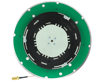
- Antenna: Antenna compatibility, installation, sky visibility and the multipath environment at the site.
- Communication: How the rover will receive correction data in the field, from radio to cellular links.
- Field integration: Interfaces, power, enclosure, mounting and data output for the target platform.
JUMPSTAR RTK Rover and GNSS Positioning Solutions
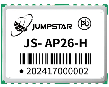
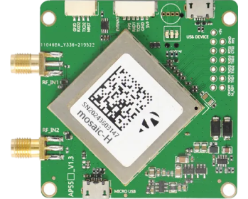
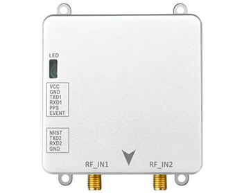
JUMPSTAR provides GNSS positioning solutions for field applications that depend on RTK. Its product lines cover RTK receivers and systems for high-precision field positioning, GNSS modules for integrated platforms, and GNSS OEM boards for manufacturers building rover capability into their own equipment.
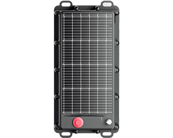
For surveying workflows specifically, JUMPSTAR's surveying RTK rovers bring together the receiver, correction processing and field integration needed for day-to-day measurement work.
Conclusion
An RTK rover is the field receiver that combines GNSS observations with correction data to obtain a high-precision positioning solution. Rover selection depends on GNSS capability, correction source, antenna, communication and application requirements. For OEMs and integrators evaluating GNSS RTK rovers, JUMPSTAR's RTK positioning solutions offer a practical starting point.
.png?imageMogr2/format/webp)
.png?imageMogr2/format/webp)