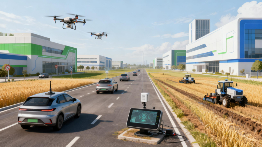
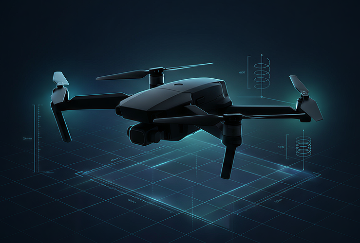


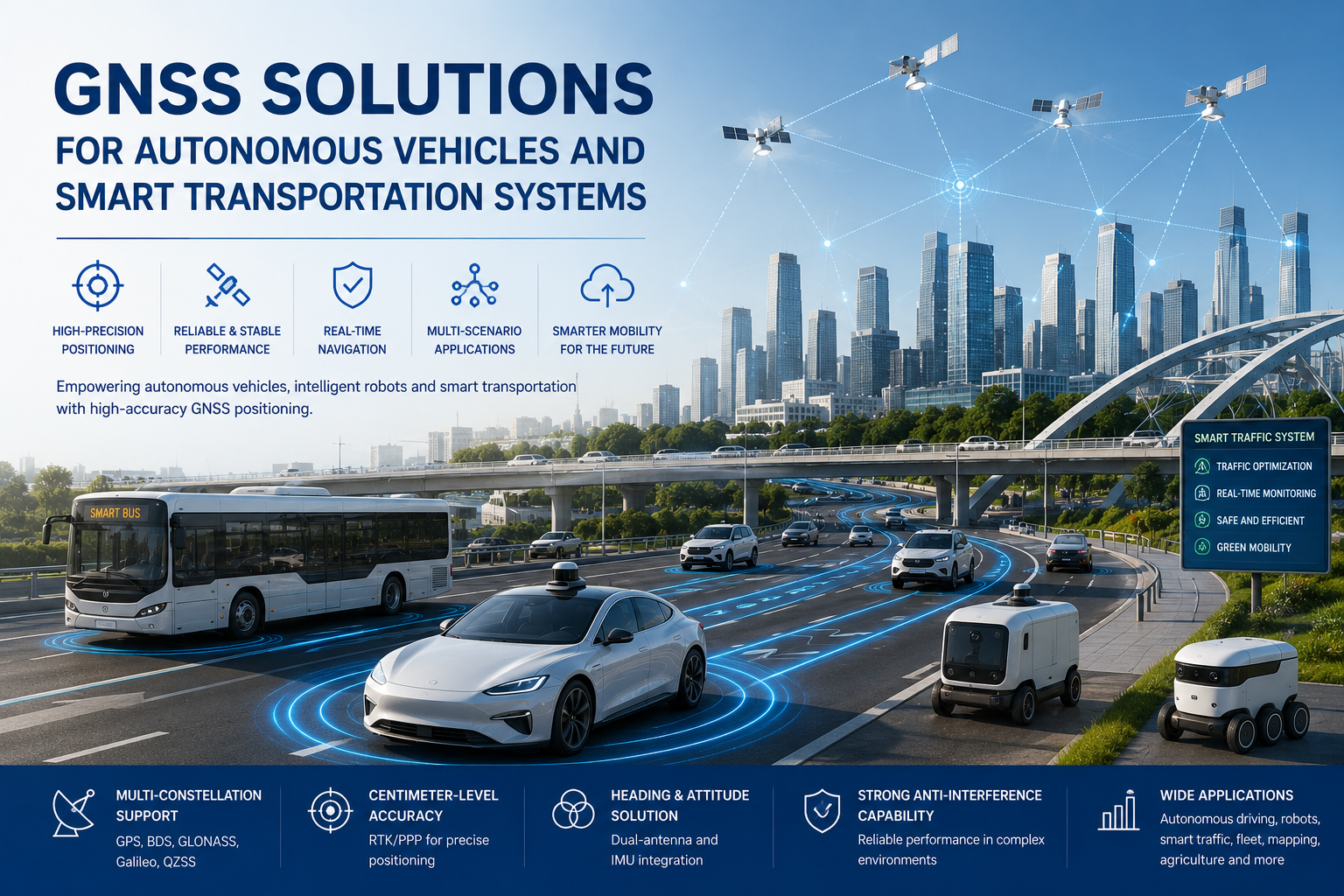
Autonomous vehicles, autonomous mobile robots (AMRs), autonomous lawn mowers, intelligent transportation systems and automated logistics vehicles are moving from pilot projects into commercial deployment. These platforms must know where they are, which way they are facing and how they are moving — reliably and in real time. Approximate GPS coordinates are not enough for a robot to follow a route, a tractor to hold a row in a field, or a vehicle to stay in lane on a public road.
This is why high-precision positioning technologies — RTK, multi-constellation and multi-frequency reception, dual-antenna heading and IMU-assisted navigation — are becoming standard building blocks for autonomous platforms. GNSS solutions for autonomous vehicles combine these technologies into a positioning system that delivers position, heading, speed and motion information at update rates the control system can act on. For OEMs and system integrators, understanding how these technologies work together is the first step in selecting the right hardware.
Why Autonomous Vehicles Need More Than Standard GPS
Standard consumer-grade GNSS reports a position with meter-level accuracy. For an autonomous platform, that is rarely sufficient. The limitations appear quickly in real environments:
- Buildings reflect satellite signals and create multipath errors that shift the reported position by several meters.
- Trees, bridges and other obstacles block satellite signals and degrade the fix.
- Tunnels and parking structures cause complete GNSS outages, however briefly.
- Urban canyons can produce unstable, jumping positions even when the sky is nominally visible.
- An autonomous vehicle needs heading information, not only latitude and longitude — knowing where you are is not the same as knowing where you are pointing.
The severity of these effects varies by environment. In dense urban areas, multipath and blockage can dominate the error budget, as illustrated in a case study of autonomous vehicle navigation in urban canyons. That is why autonomous platforms combine high-precision GNSS with heading sensors and inertial navigation rather than relying on a single positioning source.
RTK GNSS for Centimeter-Level Vehicle Positioning
Real-Time Kinematic (RTK) positioning uses correction data from a base station or a correction network to remove the shared errors in satellite measurements. The result is centimeter-level positioning accuracy, which changes what a vehicle can do:
- High-precision path following. A vehicle can track a pre-defined route with decimeter- or centimeter-level repeatability.
- Repeatable positioning. Operations that must return to the same line or point — such as a tractor working a field — can be reproduced run after run.
- Lane-level operation. Automated vehicles can distinguish between lanes and hold a consistent lateral position.
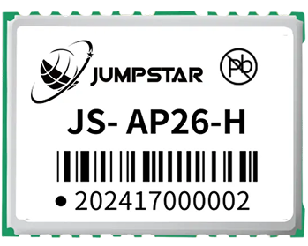
RTK is particularly valuable for autonomous tractors, mobile robots and automated vehicles that follow predefined routes. The correction engine and RF front end are typically delivered by hardware such as JUMPSTAR's high-precision RTK modules, while the choice of correction source — base station, network RTK or PPK — depends on the deployment area, as discussed in RTK versus PPK correction methods. It is worth stating the limitation plainly: RTK needs a reliable correction link and reasonable sky visibility, so it cannot guarantee continuous centimeter-level accuracy in every environment on its own.
Dual-Antenna GNSS for Accurate Heading
An autonomous vehicle needs to answer two questions at the same time: where am I and which direction am I facing. Position answers the first; heading answers the second. A single GNSS antenna determines position, but a dual-antenna GNSS configuration measures the baseline between two antennas and derives heading directly from carrier-phase observations.
Dual-antenna heading offers practical advantages for autonomous platforms:
- Accurate heading even at standstill or very low speed, where wheel- and gyro-based estimates drift.
- Reduced dependence on magnetic sensors, which are disturbed by motors, batteries and steel structures.
- More reliable vehicle orientation for steering, path planning and obstacle avoidance.
- A stable reference that supports sensor fusion with inertial data.
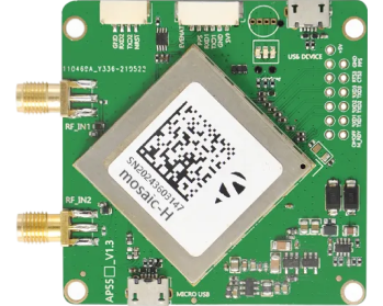
For autonomous steering and navigation, dual-antenna GNSS is a strong complement to RTK positioning. JUMPSTAR offers dual-antenna GNSS boards for this role; if the platform needs trustworthy heading, a second antenna is usually a better investment than a magnetometer.
GNSS + IMU for Navigation Continuity
However well GNSS performs in open sky, signals become weak or unavailable in certain situations: tunnels, parking structures, dense urban areas, tree-covered roads, buildings and industrial environments. For an autonomous vehicle, a two-second outage can be enough to lose lane position; a ten-second outage can stop the mission.
Combining GNSS with an inertial measurement unit (IMU) — sometimes called GNSS/INS or dead reckoning — allows the system to continue producing position, heading and speed estimates during short GNSS interruptions. The IMU measures acceleration and angular rate; the fusion engine propagates the last good fix forward until satellites return. JUMPSTAR's website specifically describes the use of RTK correction data combined with IMU data for autonomous vehicles and mobile platforms, and the wider topic of IMU sensor fusion in GNSS-denied environments explains the trade-offs in detail.
One point needs to be clear: dead reckoning bridges short interruptions but cannot eliminate accumulated error during prolonged outages. The right expectation is continuity through a tunnel or tree line — not immunity in a fully GNSS-denied scenario.
GNSS Solutions for Autonomous Vehicles and Smart Transportation
The same underlying technologies are applied differently across application areas. A few scenarios illustrate how requirements translate into system choices:
Autonomous Mobile Robots. Warehouse and outdoor AMRs need accurate positioning, route following, heading information and real-time navigation. In a structured but dense warehouse, RTK with dead reckoning keeps robots moving through rack aisles where satellites are partially blocked. GNSS for autonomous robots typically pairs a compact module with an IMU and odometry.
Autonomous Lawn Mowers. A mower must hold precise boundaries, follow repeatable routes and navigate around obstacles. Sub-meter to centimeter-level positioning, combined with heading and obstacle avoidance, allows safe boundary work and efficient coverage of large areas.
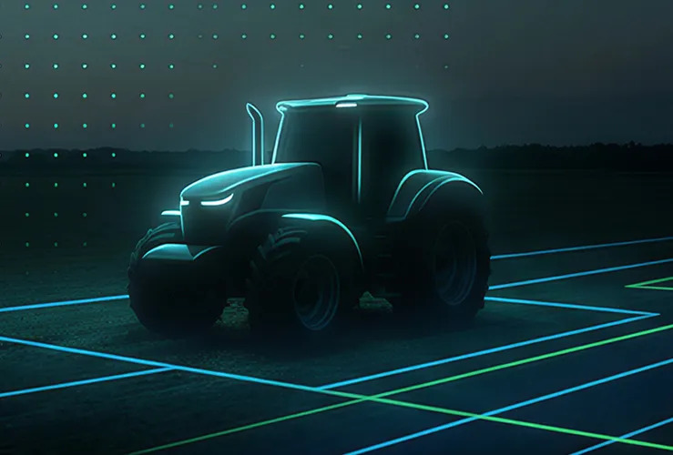
Autonomous Agricultural Vehicles. Automated steering, row following and repeatable field operations rely on RTK-level accuracy. The payoff is measurable: reduced overlap between passes, consistent row spacing and the ability to return to the same line in later operations.
Intelligent Transportation Systems. Smart transportation systems use positioning for vehicle tracking, fleet management, navigation, vehicle coordination and infrastructure services. Requirements here are often less demanding than field robotics — sub-meter accuracy and reliable updates matter more than centimeter-level repeatability — but continuity and communication interfaces are critical.
What Should You Consider When Selecting a GNSS Solution?
Selecting a GNSS positioning system for an autonomous platform comes down to a practical checklist of eight points:
- Positioning accuracy. Determine whether the application needs meter-level, sub-meter or centimeter-level accuracy — this single decision drives the whole architecture.
- Heading accuracy. Required for autonomous steering and vehicle orientation. Consider whether a single antenna plus magnetometer is enough, or whether dual-antenna GNSS is justified.
- Constellation and frequency support. Multi-constellation and multi-frequency reception improves availability and robustness, particularly in L1/L2/L5 frequency bands and obstructed environments.
- RTK correction support. Check whether the receiver can process the correction format used in your region and application — RTCM, network RTK or PPP-RTK.
- IMU / dead reckoning. Important whenever temporary GNSS blockage is expected — tunnels, parking garages, tree cover or industrial halls.
- Anti-interference capability. Consider environments with electromagnetic interference and multipath effects, where receiver robustness determines real-world performance.
- Communication interfaces. CAN, UART, RS232, RS485, Ethernet or wireless options must match the vehicle control system and integration architecture.
- Mechanical and environmental requirements. Size, power consumption, operating temperature, waterproofing and vibration resistance all affect which hardware can be deployed.
How JUMPSTAR Supports Autonomous Navigation Applications
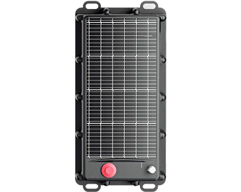
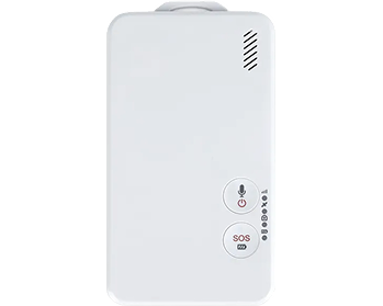
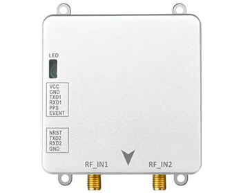
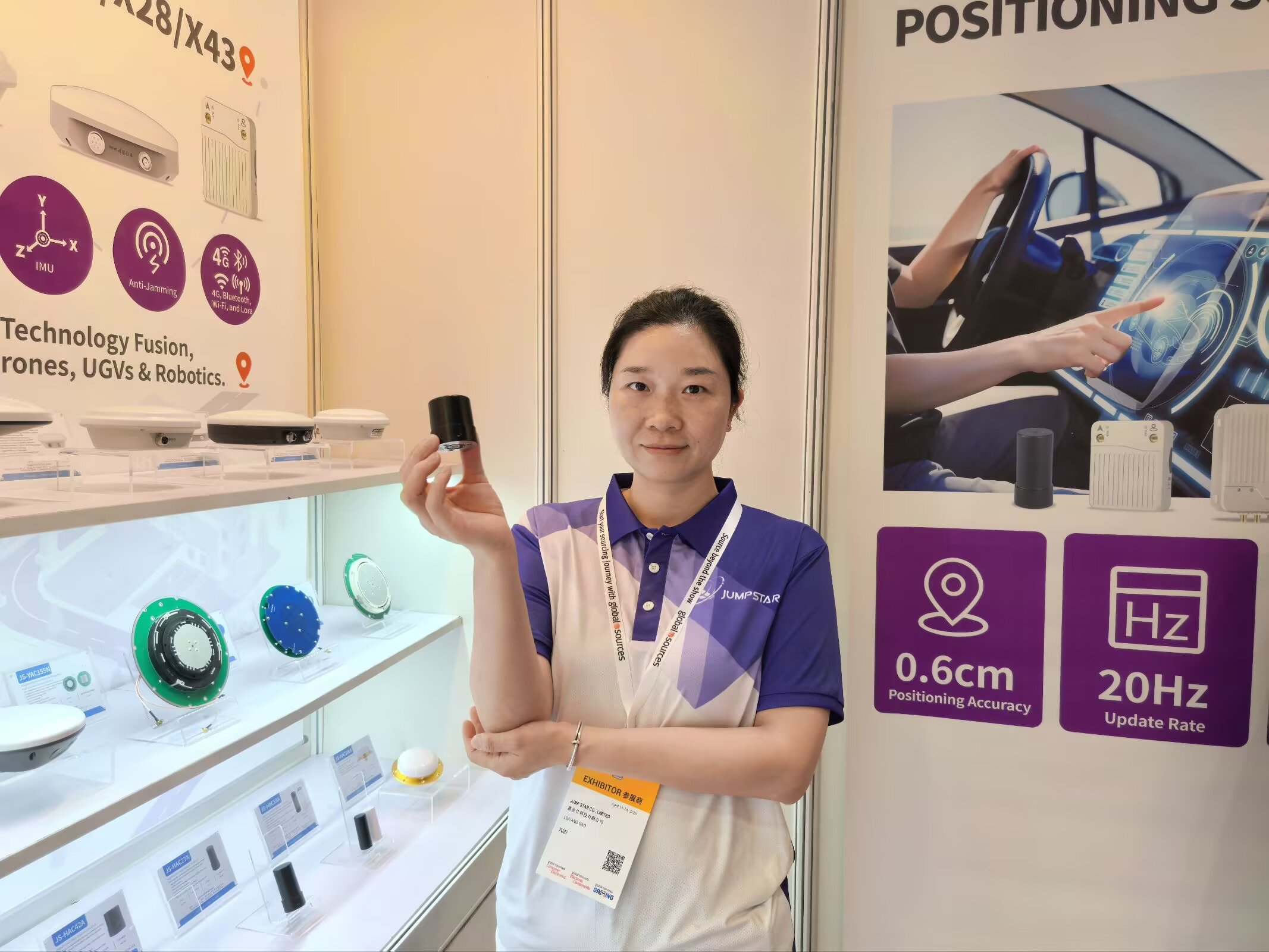
JUMPSTAR is a GNSS technology manufacturer providing positioning hardware for autonomous systems and robotics. Its autonomous-system portfolio includes dual-antenna GNSS boards, dead-reckoning modules, RTK positioning solutions, GNSS/INS navigation solutions and vehicle and fleet positioning terminals, spanning the GNSS modules, OEM boards and RTK receivers in the product range. The company's application pages identify autonomous mobile robots, lawn mowers and intelligent transportation systems as supported scenarios.
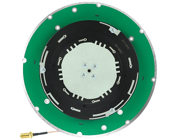
As one technical reference, the X27 is listed on its official product page as applicable to autonomous driving control systems, unmanned vehicles and robots. The point is not a specification comparison but a pattern: a supplier that names these applications should be able to discuss the whole chain, from antenna placement and heading baseline to correction source and integration interfaces.
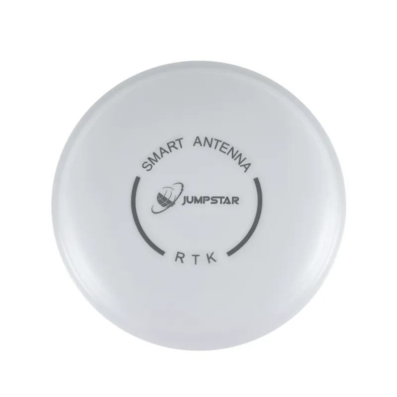
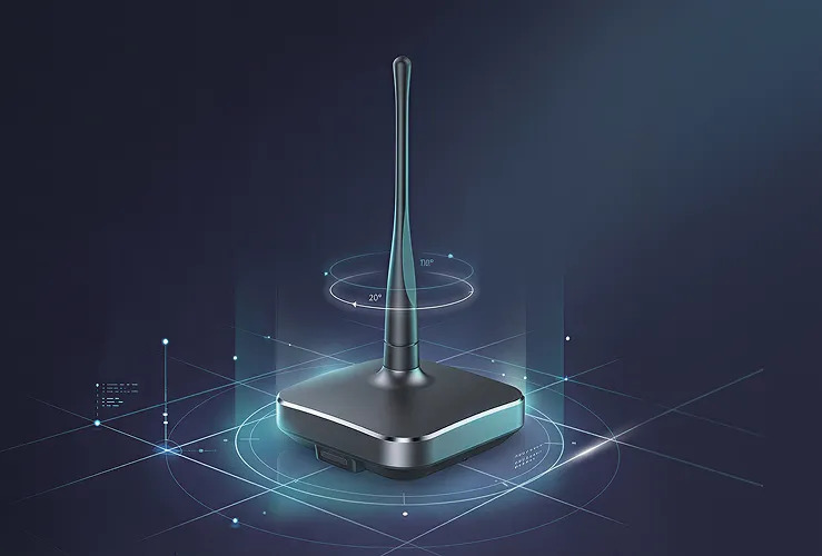
JGNSS X27 GNSS antenna for autonomous driving, unmanned vehicles and robotic applications.
Building a Positioning System for Autonomous Movement
Autonomous vehicles need positioning systems that provide more than basic GPS coordinates. Practical GNSS solutions for autonomous vehicles combine multi-constellation GNSS, RTK, dual-antenna heading, IMU/dead reckoning and reliable communication — and the appropriate configuration depends on vehicle type, required accuracy, operating environment, expected GNSS blockage and integration requirements. A warehouse AMR, a field robot and a road vehicle will end up with different combinations of the same technologies.
If you are developing an autonomous vehicle, mobile robot or smart transportation system, contact JUMPSTAR to discuss your GNSS positioning and integration requirements.
.png?imageMogr2/format/webp)
.png?imageMogr2/format/webp)