





A18
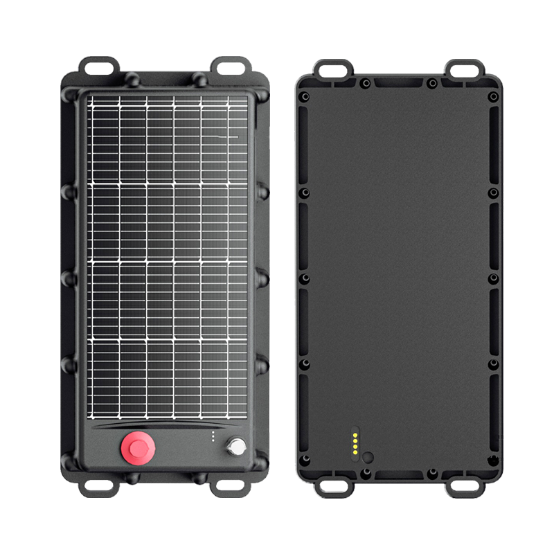
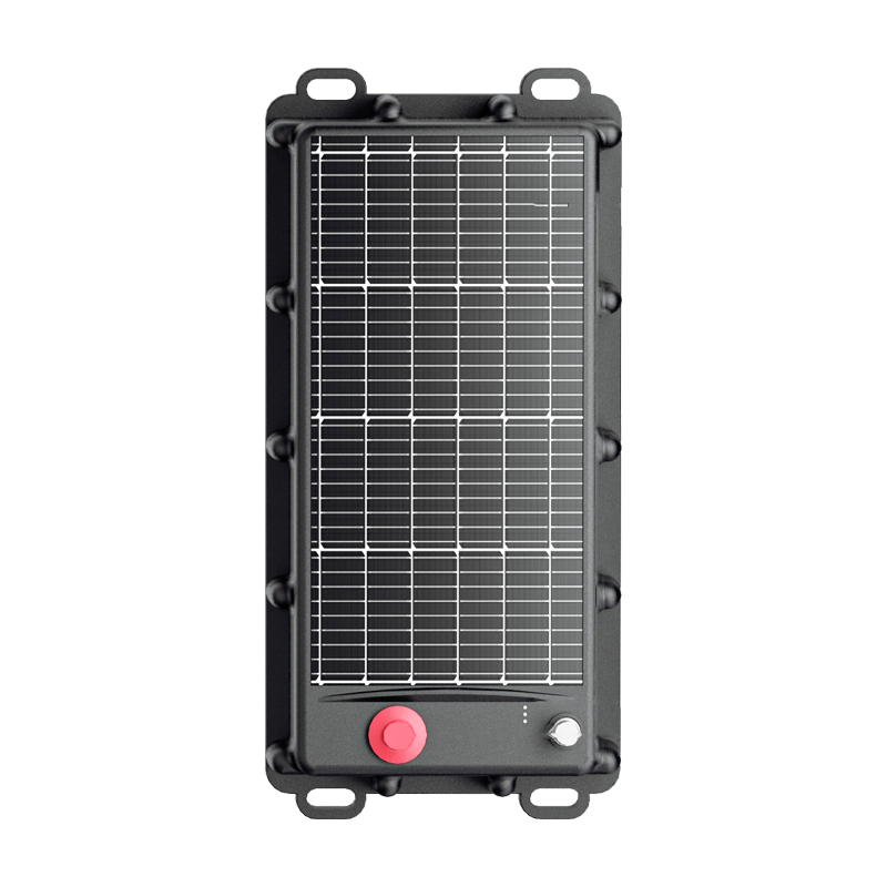
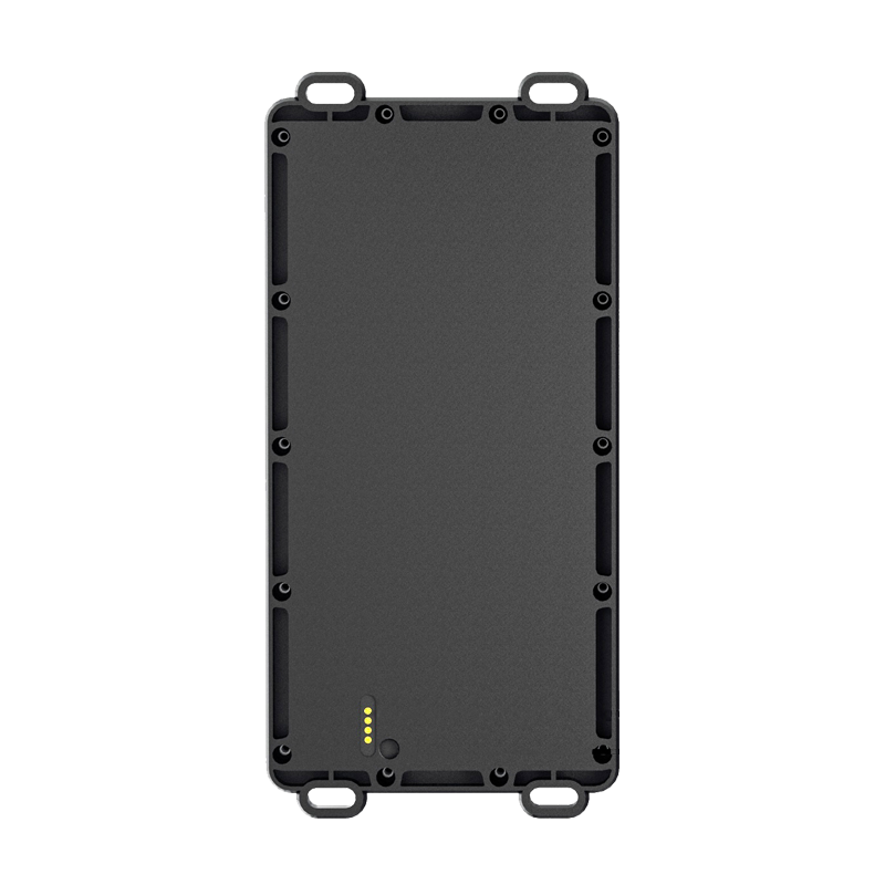
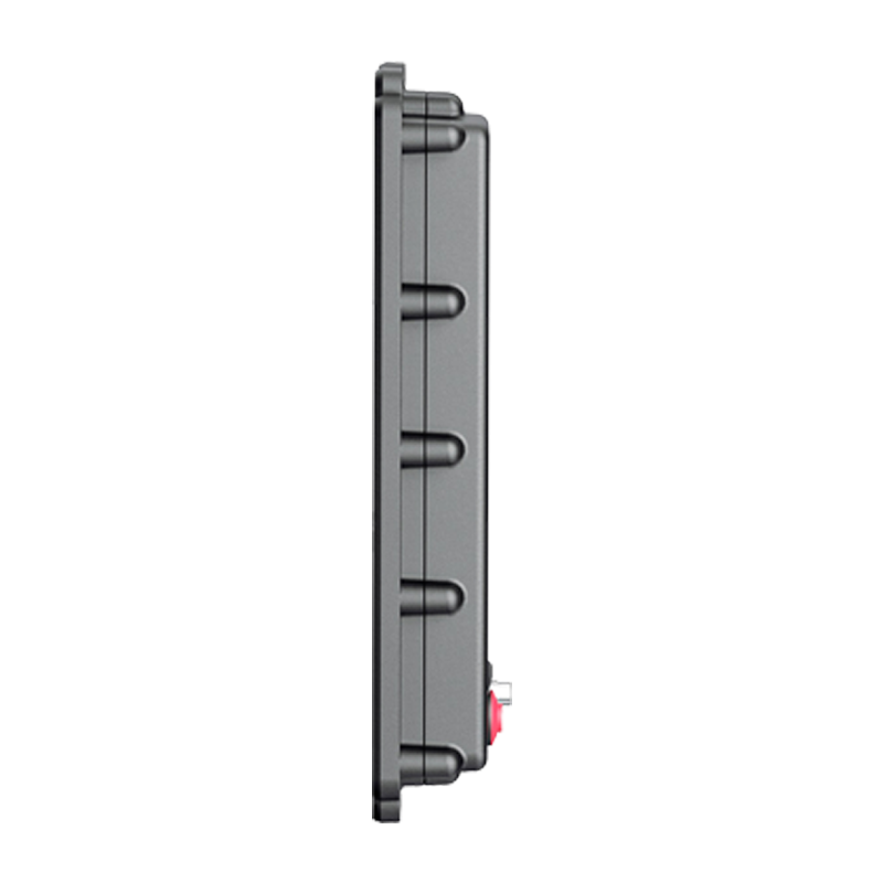
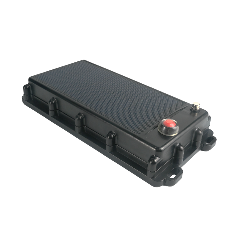
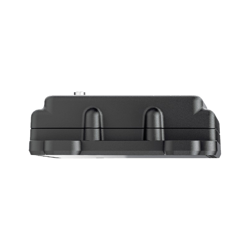
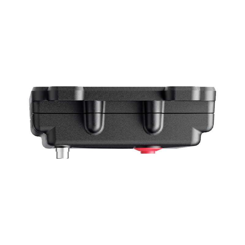
A18
Asset Trackers
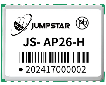
Jumpstar A18 Multi-Constellation Multi-Frequency GNSS Receiver – Compact Industrial RTK Module, Dual-Antenna Heading, High-Environmental Adaptability
480 Hardware Channels
Full-view satellite tracking, simultaneous reception of global multi-constellation signals.
Centimeter-Level RTK Accuracy
Horizontal 0.8cm±0.8ppm, vertical 1.2cm±1.2ppm high precision.
Dual-Antenna Heading Output
No magnetic sensor dependency, heading accuracy 0.2°@5m baseline.
Multi-Layer Anti-Jamming
AIM+/IONO+/APME+/RAIM+ for complex electromagnetic environments.
Ultra-Compact Design
45×38×10mm, <20g lightweight, ideal for embedded integration.
Rich Interfaces
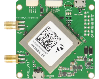
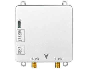
Dual UART, Type-C, dual RF antenna, TF card slot (max 32GB).
Wide Voltage & Temperature
3.8~12V DC input, -40℃~+80℃ industrial-grade adaptability.
Full Protocol Compatibility
NMEA 0183, RTCM 3.x, RINEX, SBF, CMR/CMR+.
Base/Rover Dual-Mode
Flexible switching for networking/standalone positioning.
OSNMA Anti-Spoofing
Secure positioning against signal deception threats.
Jumpstar A18
Multi-Constellation Multi-Frequency RTK Receiver
The A18 is a compact, high-performance multi-constellation multi-frequency GNSS receiver tailored for industrial embedded scenarios. It integrates a professional GNSS chip with 480 hardware channels to achieve full-coverage tracking of global satellite signals, and adopts a dual-antenna design to support high-precision heading, pitch and roll output without relying on magnetic sensors. Equipped with multi-dimensional anti-jamming and anti-spoofing technologies, it ensures stable positioning in complex environments such as urban canyons, industrial sites and open fields.
With ultra-small size, lightweight design and rich functional interfaces, it is widely used in drones, autonomous robots, precision agriculture, vehicle-mounted positioning and other high-precision navigation fields.
480 channels, dual-antenna heading, cm-level RTK, ultra-low latency, and anti-jamming make A18 an ideal high-precision module.
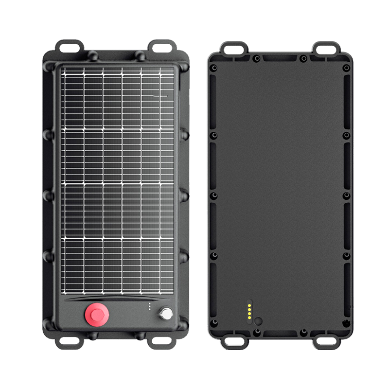
Key Features & Benefits
-
Superior 480-Channel Signal Processing Adopts high-sensitivity GNSS chips with 480 hardware channels, supporting simultaneous tracking of GPS, BDS, GLONASS, Galileo, QZSS and other global satellite signals, achieving fast and stable signal capture and positioning.
-
Ultra-High Precision RTK Positioning & Heading RTK horizontal positioning accuracy reaches 0.8cm±0.8ppm, vertical accuracy 1.2cm±1.2ppm; dual-antenna heading accuracy up to 0.2°@5m baseline, meeting high-precision attitude control requirements.
-
Multi-Dimensional Anti-Jamming & Anti-Spoofing Integrates AIM+ interference suppression, IONO+ ionospheric scintillation mitigation, APME+ multipath suppression, RAIM+ integrity monitoring, and Galileo OSNMA anti-spoofing for reliable positioning in harsh environments.
-
High-Speed Low-Latency Performance Max 50Hz position/observation update rate, 99.9% delay <12ms, stable signal tracking under high vibration and rapid movement, meeting real-time control requirements.
-
Ultra-Compact Industrial Structure Miniature size of 45×38×10mm and weight <20g, perfectly adapting to embedded devices with limited space, such as small drones, micro robots and vehicle-mounted terminals.
-
Rich Interfaces & Flexible Configuration Equipped with dual UART (TTL/RS232), Type-C (USB), dual RF antenna ports, TF card slot (32GB max) and LED indicators, supporting base/rover dual-mode switching and remote configuration.
-
Wide-Range Environmental Adaptability Supports 3.8~12V DC wide voltage input, -40℃~+80℃ operating temperature, and -50℃~+85℃ storage temperature, adapting to extreme outdoor, industrial and field environments.
-
Comprehensive Data Management Supports TF card data logging, offline trajectory storage and automatic upload after signal recovery, and multiple positioning data output protocols for seamless docking with upper management platforms.
Technical Specifications
GNSS Performance
| Product Type | Multi-Constellation Multi-Frequency GNSS Receiver (Dual-Antenna Heading) |
| Hardware Channels | 480 channels |
| Supported GNSS Signals | GPS: L1C/A, L1C, L2C, L5; BDS: B1I, B1C, B2a, B2I, B3I; GLONASS: L1CA, L2CA, L3; Galileo: E1, E5a, E5b, E6; QZSS, NavIC, SBAS multi bands |
| Sensitivity | Tracking: 21 dB-Hz; Acquisition: 32 dB-Hz |
| Time to First Fix | Cold start <40s; Warm start <15s; Reacquisition ≤1s |
| Positioning Accuracy | RTK Horizontal: 0.8cm±0.8ppm; RTK Vertical: 1.2cm±1.2ppm; Standalone: 1.5m; DGNSS: 0.5m |
| Heading/Attitude Accuracy | 1m baseline: Heading 0.2°, Pitch/Roll 0.3°; 5m baseline: Heading 0.05°, Pitch/Roll 0.08° (RMS) |
| Data Update Rate | Position/Observation: 50Hz; Default: 1Hz |
| Transmission Delay | 99.9% <12ms |
| Supported Protocols | NMEA 0183 v2.3/v3.03/v4.0, RTCM 2.x/3.x, RINEX 2.x/3.x, SBF, CMR v2.0, CMR+ |
Electrical & Mechanical
| Interfaces | 2×UART (TTL/RS232), Type-C, RF1/RF2, TF card slot (max 32GB), 1PPS, EVENT, LED indicators |
| Operating Voltage | 3.8~12.0V DC (3.3V auxiliary output) |
| Operating Current | Single Antenna: Tracking 80~110mA@5V; Dual Antenna: Tracking 100~140mA@5V |
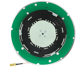
| Antenna | Bias voltage: 3.0~5.5V; Pre-amplification: 15~45dB (single), 15~35dB (dual) |
| Dimensions | 45mm×38mm×10mm ±0.2mm |
| Weight | <20g |
| Operating Temperature | -40℃~+80℃ |
| Storage Temperature | -50℃~+85℃ |
| Humidity | 10%~95% non-condensing |
| Special Functions | AIM+ anti-jamming, OSNMA anti-spoofing, dual-antenna heading, TF data logging, base/rover mode |
Typical Applications
Unmanned Aerial Vehicles (UAVs)
High-precision positioning and heading for drones and small UAVs
Autonomous Robots & Micro AGVs
Autonomous navigation with precise heading for robots and AGVs
Precision Agriculture Machinery Autopilot
Automated guidance with heading for tractors and harvesters
Vehicle-Mounted High-Precision Navigation
High-precision navigation and heading for vehicles and fleets
Geodetic Surveying & Mapping
Professional land surveying, GIS data collection and geodetic measurement
Industrial Equipment Motion Control
High-precision control with heading feedback for industrial automation
Geological Disaster Monitoring & Early Warning
Landslide and subsidence monitoring with mm-level precision
Intelligent Logistics Scheduling & Tracking
Asset tracking and warehouse automation with heading
Unmanned Ground Vehicles (UGVs)
Precise heading and positioning for UGVs and autonomous vehicles
Outdoor Portable Data Collection Terminals
High-precision positioning for portable GIS and field data collection
Resources & Downloads
A18 Datasheet
Complete specifications, pinout, electrical and mechanical details.
Mechanical Drawing
2D/3D mechanical dimensions and pad layout (45×38×10mm).
User Manual
Quick start guide, integration tips, and configuration protocols.
3D CAD Model
STEP, IGES and STL formats for mechanical integration (45×38×10mm).
Frequently Bought Together
P16
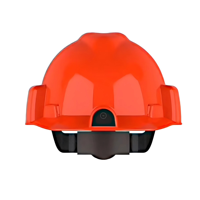
Jumpstar P16 RTK Smart Safety Helmet – 4G Cat.1, Centimeter-Level Positioning, Intelligent Safety Terminal for Construction & Engineering
.png?imageMogr2/format/webp)
P9
Jumpstar P9 4G Portable Personal Locator – Mini GNSS Tracker, One-Touch SOS, Low-Power Positioning for Personal/Asset/Pet Tracking
.png?imageMogr2/format/webp)
P7
Jumpstar P7 4G Smart ID Badge – Dual-Frequency RTK/UWB/Bluetooth Multi-Mode Positioning, SOS Emergency Alarm & Smart Personnel Management Terminal